Transport Functions
Multimodal
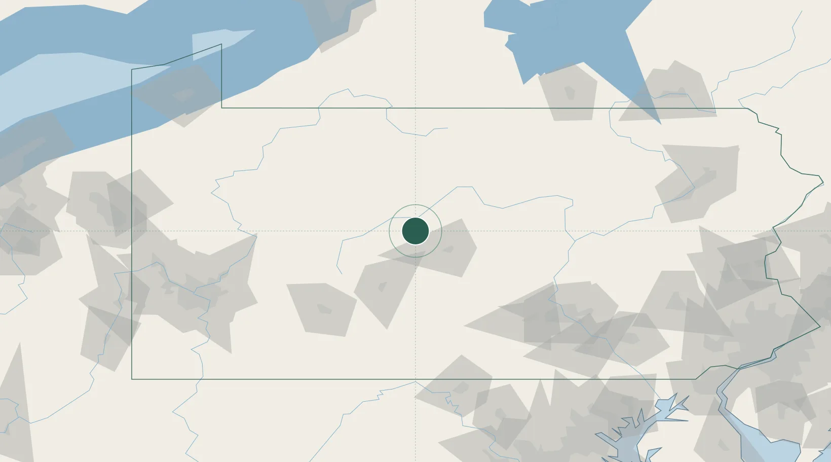
Hub Profile
Place type
Populated place
Region
Pennsylvania
Time zone
America/New_York
Elevation
434 m
Location
Nearby Logistics Neighbours
Cities
- 1Woodland17 km
- 2Clarence18 km
- 3Pine Grove, Clearfield27 km
- 4Olanta31 km
- 5Pleasant Gap34 km
Airports
Trade Zones
- 1FTZ No. 295 Central Pennsylvania52 km
- 2FTZ No. 254 Jefferson County73 km
- 3FTZ No. 240 Martinsburg168 km
- 4FTZ No. 147 Berks County169 km
- 5FTZ No. 033 Pittsburgh172 km
DatabookThe Record of Consolidated Knowledge
United States beyond logistics?