Transport Functions
Road
Multimodal
Hub Profile
Place type
Populated place
Region
Pennsylvania
Time zone
America/New_York
Elevation
398 m
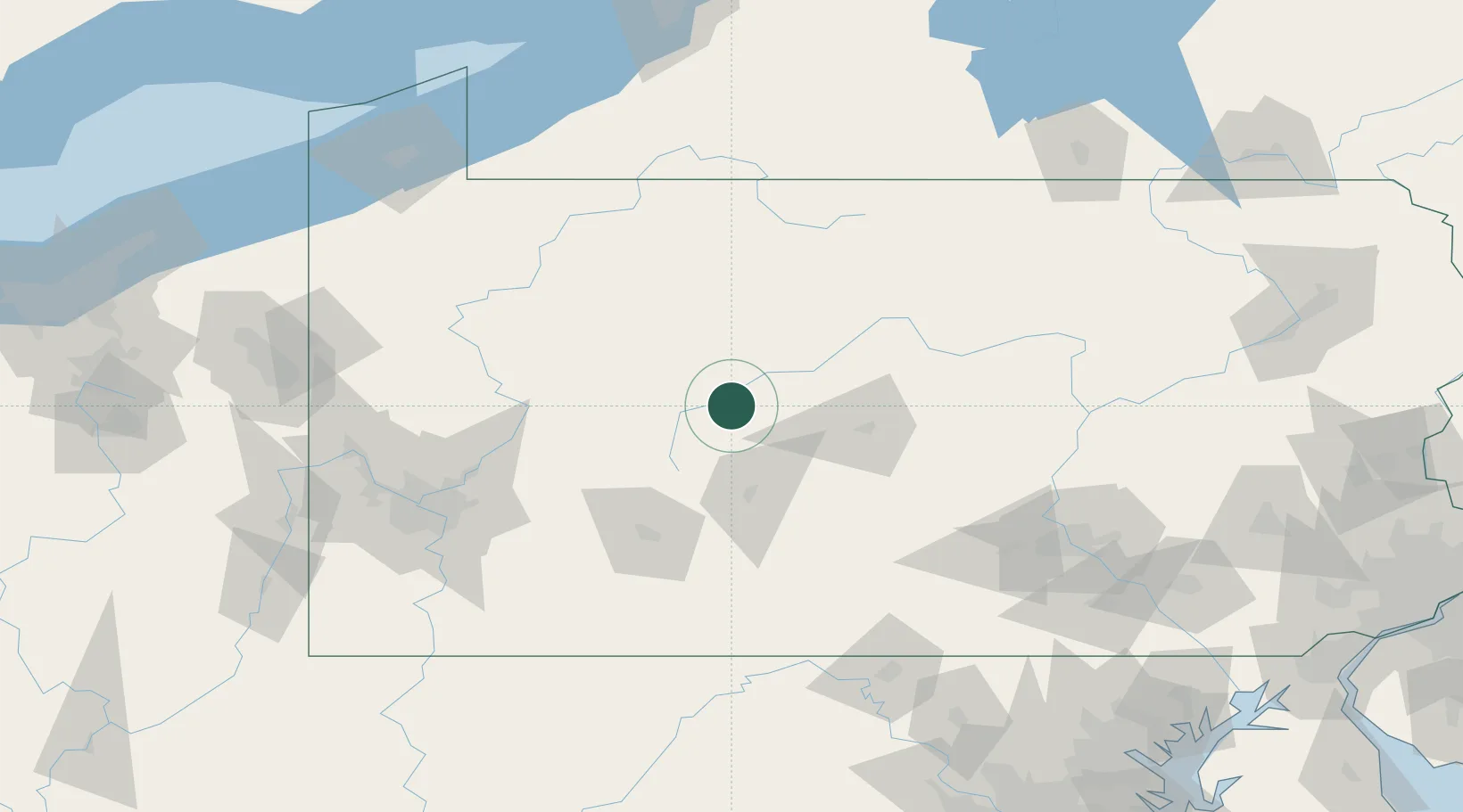
Location
Nearby Logistics Neighbours
Cities
- 1Pine Grove, Clearfield9 km
- 2Thompsontown15 km
- 3Woodland16 km
- 4Irvona17 km
- 5Middleton20 km
Airports
Trade Zones
- 1FTZ No. 295 Central Pennsylvania29 km
- 2FTZ No. 254 Jefferson County61 km
- 3FTZ No. 033 Pittsburgh142 km
- 4FTZ No. 240 Martinsburg167 km
- 5FTZ No. 247 Erie189 km
DatabookThe Record of Consolidated Knowledge
United States beyond logistics?