UN/LOCODE hub · United States
USPGJ

Pine Grove, Clearfield

40.9833°, -78.4500°
2
Transport functions

Transport Functions

Road
Multimodal
UN/LOCODE

Hub Profile

Region
PA
GeoNames

Location

Location of USPGJ
Natural Earth 10m (public domain) · PA · USPGJ · 40.98, -78.45GoogleOSMYandex

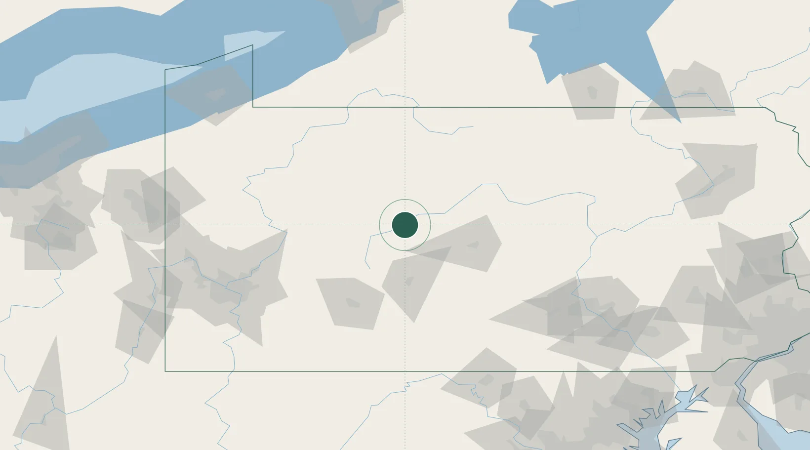
Nearby Logistics Neighbours

Cities
  1. 1Olanta9 km
  2. 2Woodland10 km
  3. 3Thompsontown23 km
  4. 4Irvona26 km
  5. 5Middleton26 km
Nearest neighbours — logibook spatial index (haversine) over the source coordinates
Ports
  1. 1Dunkirk182 km
  2. 2Erie189 km
  3. 3Conneaut206 km
  4. 4Buffalo214 km
  5. 5Ashtabula221 km
Nearest neighbours — logibook spatial index (haversine) over the source coordinates
Airports
  1. 1DuBois Regional Airport43 km
  2. 2State College Regional Airport53 km
  3. 3Altoona Blair County Airport77 km
  4. 4John Murtha Johnstown Cambria County Airport81 km
  5. 5Bradford Regional Airport93 km
Nearest neighbours — logibook spatial index (haversine) over the source coordinates
Trade Zones
  1. 1FTZ No. 295 Central Pennsylvania27 km
  2. 2FTZ No. 254 Jefferson County56 km
  3. 3FTZ No. 033 Pittsburgh148 km
  4. 4FTZ No. 240 Martinsburg174 km
  5. 5FTZ No. 247 Erie187 km
Nearest neighbours — logibook spatial index (haversine) over the source coordinates
DatabookThe Record of Consolidated Knowledge
United States beyond logistics?
Browse databook

All Sources

LocationsUN/LOCODE
UN/LOCODE — free
Portsthe NGA World Port Index
Public domain (US gov)
AirportsOurAirports
Public domain
Trade Zonesthe World Bank SEZ database
CC BY 4.0
Trade ZonesOpen Zone Map
CC BY
← United States locations