Transport Functions
Rail
Road
Multimodal
Hub Profile
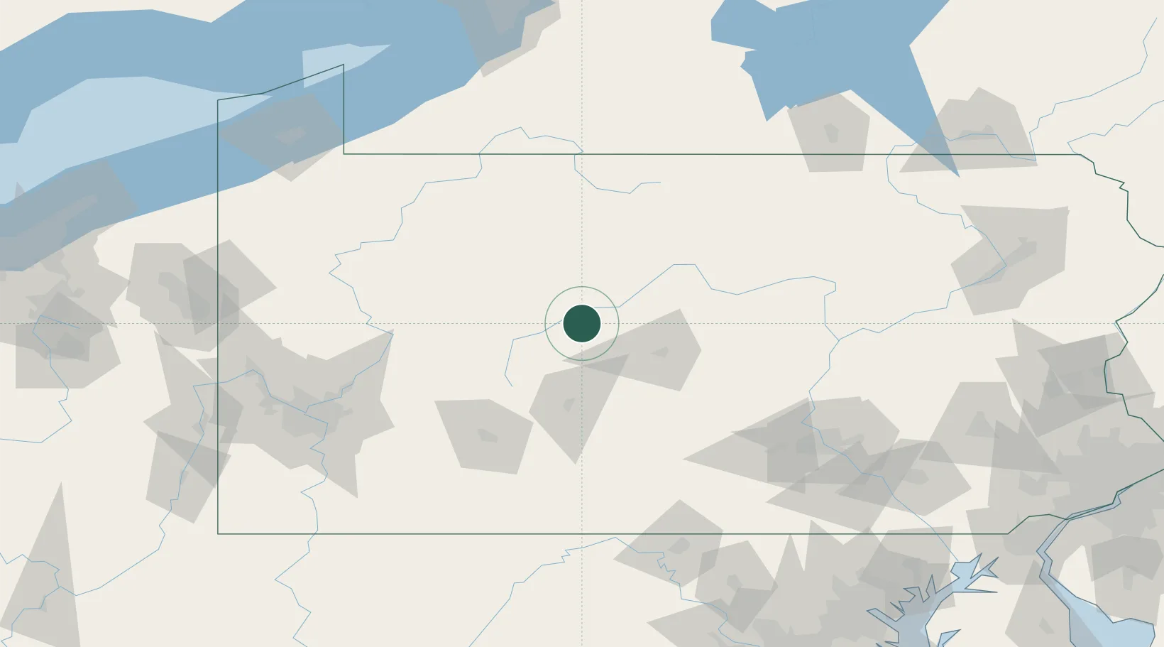
Place type
Populated place
Region
Pennsylvania
Time zone
America/New_York
Elevation
455 m
Location
Nearby Logistics Neighbours
Cities
- 1Pine Grove, Clearfield10 km
- 2Olanta16 km
- 3Winburne17 km
- 4Thompsontown30 km
- 5Irvona30 km
Ports
- 1Dunkirk186 km
- 2Erie196 km
- 3Conneaut215 km
- 4Buffalo216 km
- 5Port Colborne225 km
Airports
Trade Zones
- 1FTZ No. 295 Central Pennsylvania36 km
- 2FTZ No. 254 Jefferson County61 km
- 3FTZ No. 033 Pittsburgh157 km
- 4FTZ No. 240 Martinsburg172 km
- 5FTZ No. 147 Berks County186 km
DatabookThe Record of Consolidated Knowledge
United States beyond logistics?