Medium airport · United States

Bradford Regional AirportKBFD
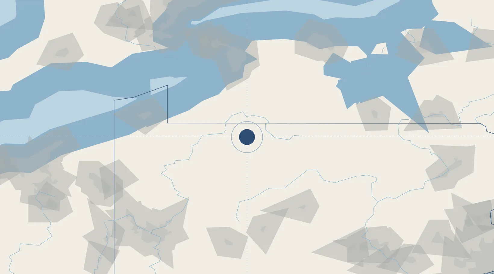
41.8031°, -78.6401°
6,307 ft
Longest runway
2
Runways
2,143 ft
Elevation

Runway & Layout

Bradford Regional Airport runway & taxiway layout
Runway & taxiway layout — OpenStreetMap (ODbL) / OurAirports

Radio Frequencies

ASOS
133.825 MHz
CNTR
124.325 MHz
CLEVELAND CNTR
RDO
122.2 MHz
ALTOONA RDO
UNIC
123.075 MHz
CTAF/UNICOM
OurAirports

Navaids

BFD VOR-DME Bradford 116.60 MHz
OurAirports

Runways · 2

RunwayDimensions SurfaceTrue headingLit
14/32 6,307 × 150ft Asphalt 134°
05/23 4,499 × 100ft Asphalt 044°
OurAirports

Airport Specifications

IATA code
BFD
OurAirports
ICAO code
KBFD
OurAirports
Airport class
Medium airport
OurAirports
Scheduled service
Yes
OurAirports
Runway surface
Asphalt
OurAirports
Served city
Bradford
OurAirports

Location

Location of KBFD
Natural Earth 10m (public domain) · Pennsylvania · KBFD · 41.80, -78.64GoogleOSMYandex

Nearby Logistics Neighbours

Airports
  1. 1Chautauqua County-Jamestown Airport64 km
  2. 2DuBois Regional Airport73 km
  3. 3Venango Regional Airport112 km
  4. 4State College Regional Airport125 km
  5. 5Buffalo Niagara International Airport127 km
Nearest neighbours — logibook spatial index (haversine) over the source coordinates
Cities
  1. 1Mckean8 km
  2. 2Hazelton Mills11 km
  3. 3Smethport17 km
  4. 4Wilcox27 km
  5. 5Vandalia32 km
Nearest neighbours — logibook spatial index (haversine) over the source coordinates
Ports
  1. 1Dunkirk95 km
  2. 2Buffalo122 km
  3. 3Erie127 km
  4. 4Port Colborne130 km
  5. 5Tonawanda138 km
Nearest neighbours — logibook spatial index (haversine) over the source coordinates
Trade Zones
  1. 1FTZ No. 254 Jefferson County42 km
  2. 2FTZ No. 295 Central Pennsylvania77 km
  3. 3FTZ No. 023 Buffalo121 km
  4. 4FTZ No. 247 Erie126 km
  5. 5FTZ No. 289 Ontario County142 km
Nearest neighbours — logibook spatial index (haversine) over the source coordinates
DatabookThe Record of Consolidated Knowledge
United States beyond logistics?
Browse databook

All Sources

AirportsOurAirports
Public domain
Portsthe NGA World Port Index
Public domain (US gov)
LocationsUN/LOCODE
UN/LOCODE — free
Trade Zonesthe World Bank SEZ database
CC BY 4.0
Trade ZonesOpen Zone Map
CC BY
InfrastructureOpenStreetMap
ODbL 1.0
← United States airports