Transport Functions
Road
Multimodal
Hub Profile
Place type
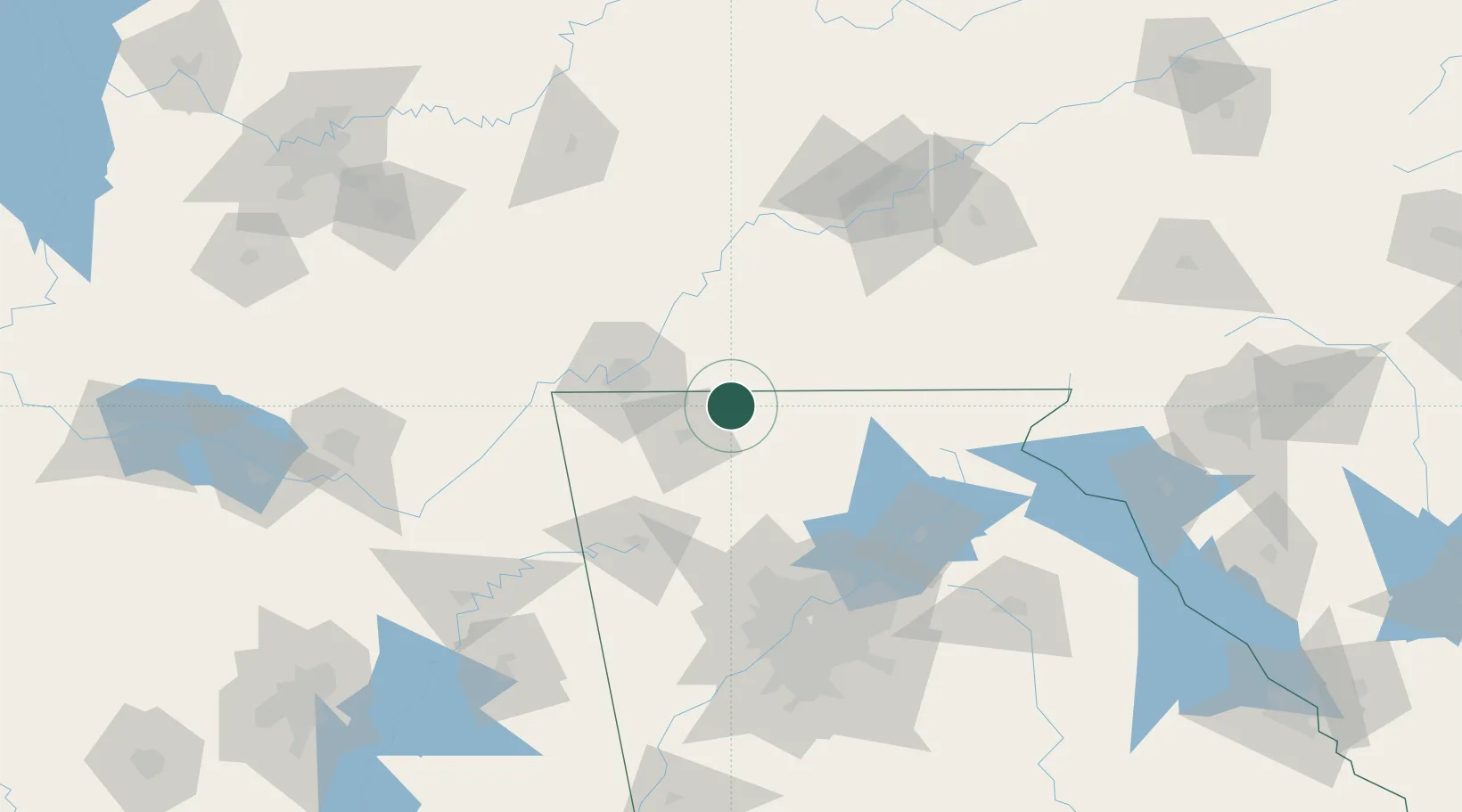
Populated place
Region
Georgia
Population
902
Time zone
America/New_York
Elevation
228 m
Logistics facilities
2
Location
Nearby Logistics Neighbours
Cities
- 1Varnell20 km
- 2Ocoee22 km
- 3Ocoee, Polk24 km
- 4Cleveland27 km
- 5Rocky Face28 km
Ports
- 1Savannah463 km
- 2Beaufort468 km
- 3Port Royal471 km
- 4Darien501 km
- 5Brunswick517 km
Airports
Trade Zones
- 1FTZ No. 134 Chattanooga61 km
- 2FTZ No. 148 Knoxville128 km
- 3FTZ No. 026 Atlanta133 km
- 4FTZ No. 083 Huntsville187 km
- 5FTZ No. 270 Lawrence County201 km
DatabookThe Record of Consolidated Knowledge
United States beyond logistics?