Transport Functions
Port
Multimodal
Hub Profile
Place type
Populated place
Region
Georgia
Time zone
America/New_York
Elevation
235 m
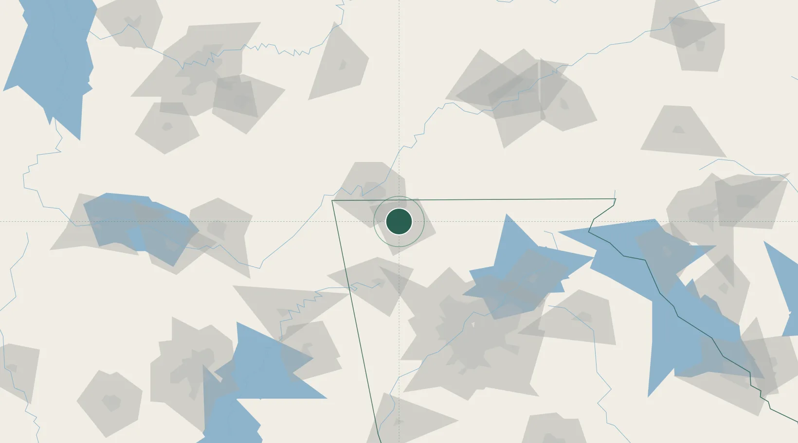
Location
Nearby Logistics Neighbours
Cities
- 1Varnell12 km
- 2Fort Oglethorpe26 km
- 3Sugar Valley28 km
- 4Eton28 km
- 5Ooltewah30 km
Ports
- 1Savannah474 km
- 2Beaufort481 km
- 3Port Royal484 km
- 4Darien507 km
- 5Brunswick522 km
Airports
Trade Zones
- 1FTZ No. 134 Chattanooga47 km
- 2FTZ No. 026 Atlanta129 km
- 3FTZ No. 148 Knoxville150 km
- 4FTZ No. 083 Huntsville161 km
- 5FTZ No. 270 Lawrence County175 km
DatabookThe Record of Consolidated Knowledge
United States beyond logistics?