UN/LOCODE hub · United States
USYVF
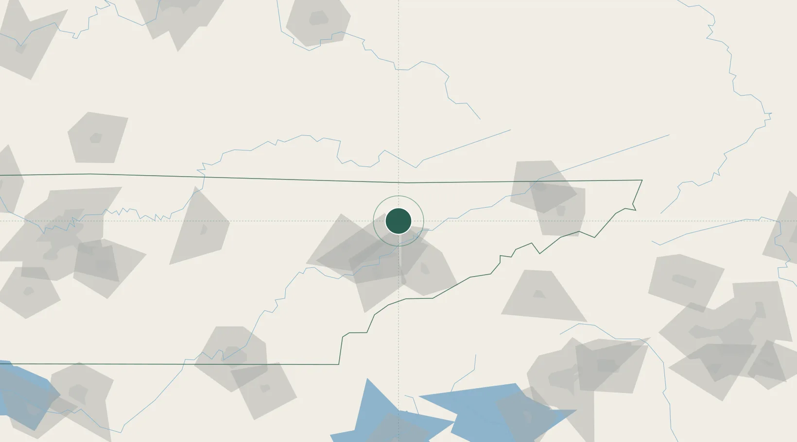
Maynardville
36.2500°, -83.8000°
2,355
Population
2
Transport functions
Transport Functions
Road
Multimodal
Hub Profile
Place type
Provincial seat
Region
Tennessee
Population
2,355
Time zone
America/New_York
Elevation
368 m
Location
Nearby Logistics Neighbours
Cities
- 1Luttrell, Union7 km
- 2Washburn20 km
- 3Speedwell23 km
- 4Arlington, Knox31 km
- 5Lake City32 km
Ports
- 1Beaufort513 km
- 2Port Royal518 km
- 3Georgetown522 km
- 4Charleston525 km
- 5Savannah526 km
Airports
Trade Zones
- 1FTZ No. 148 Knoxville48 km
- 2FTZ No. 204 Tri-Cities127 km
- 3FTZ No. 134 Chattanooga192 km
- 4FTZ No. 038 Spartanburg County206 km
- 5FTZ No. 057 Mecklenburg County269 km
DatabookThe Record of Consolidated Knowledge
United States beyond logistics?