Transport Functions
Rail
Road
Multimodal
Hub Profile
Place type
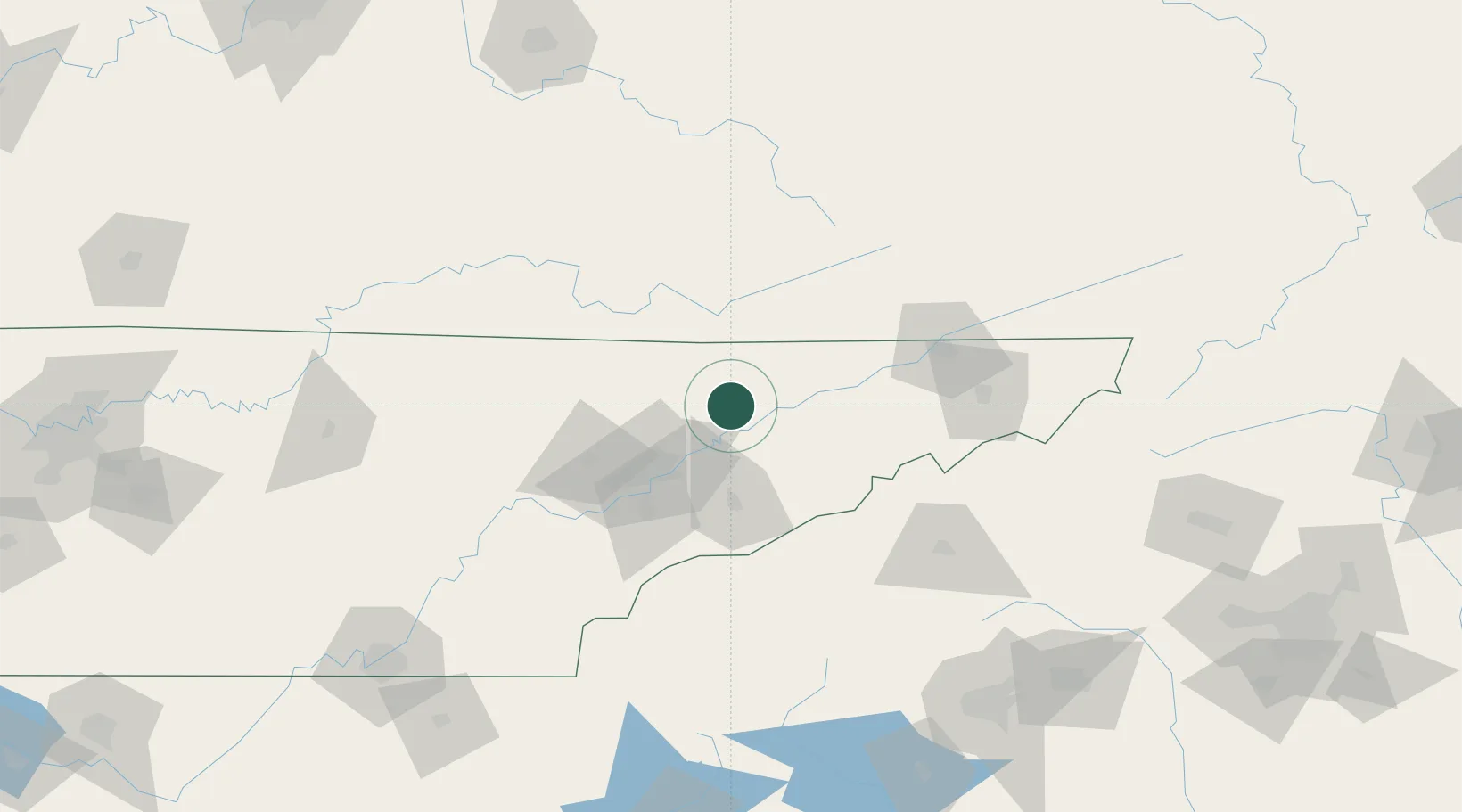
Populated place
Region
Tennessee
Time zone
America/New_York
Elevation
441 m
Location
Nearby Logistics Neighbours
Cities
- 1Luttrell, Union18 km
- 2Maynardville20 km
- 3Talbott22 km
- 4Speedwell31 km
- 5White Pine34 km
Ports
- 1Beaufort505 km
- 2Georgetown509 km
- 3Port Royal510 km
- 4Charleston514 km
- 5Savannah521 km
Airports
Trade Zones
- 1FTZ No. 148 Knoxville66 km
- 2FTZ No. 204 Tri-Cities107 km
- 3FTZ No. 038 Spartanburg County197 km
- 4FTZ No. 134 Chattanooga209 km
- 5FTZ No. 057 Mecklenburg County253 km
DatabookThe Record of Consolidated Knowledge
United States beyond logistics?