Transport Functions
Port
Road
Hub Profile
Place type
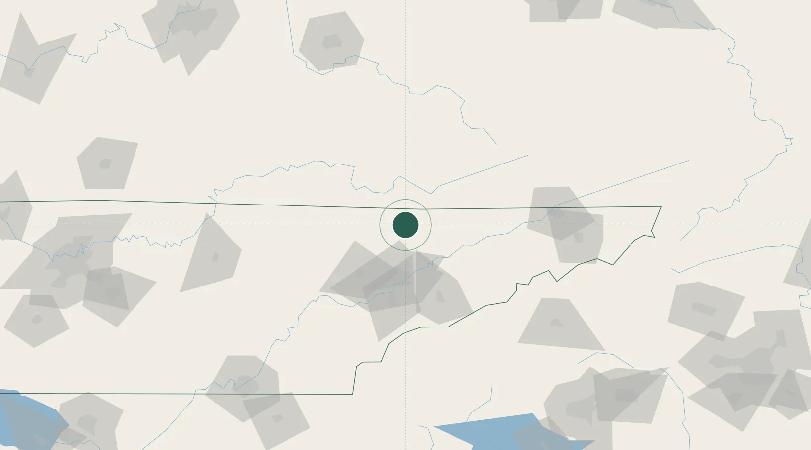
Populated place
Region
Tennessee
Time zone
America/New_York
Elevation
341 m
Location
Nearby Logistics Neighbours
Cities
- 1Maynardville23 km
- 2Jellico28 km
- 3Newcomb29 km
- 4Luttrell, Union30 km
- 5Washburn31 km
Ports
- 1Beaufort534 km
- 2Port Royal540 km
- 3Georgetown541 km
- 4Charleston545 km
- 5Savannah549 km
Airports
Trade Zones
- 1FTZ No. 148 Knoxville61 km
- 2FTZ No. 204 Tri-Cities130 km
- 3FTZ No. 134 Chattanooga203 km
- 4FTZ No. 038 Spartanburg County227 km
- 5FTZ No. 029 Louisville265 km
DatabookThe Record of Consolidated Knowledge
United States beyond logistics?