UN/LOCODE hub · United States
USAT3

Arlington, Knox

36.0000°, -83.9500°
2
Transport functions

Transport Functions

Road
Multimodal
UN/LOCODE

Hub Profile

Region
TN
GeoNames

Location

Location of USAT3
Natural Earth 10m (public domain) · TN · USAT3 · 36.00, -83.95GoogleOSMYandex

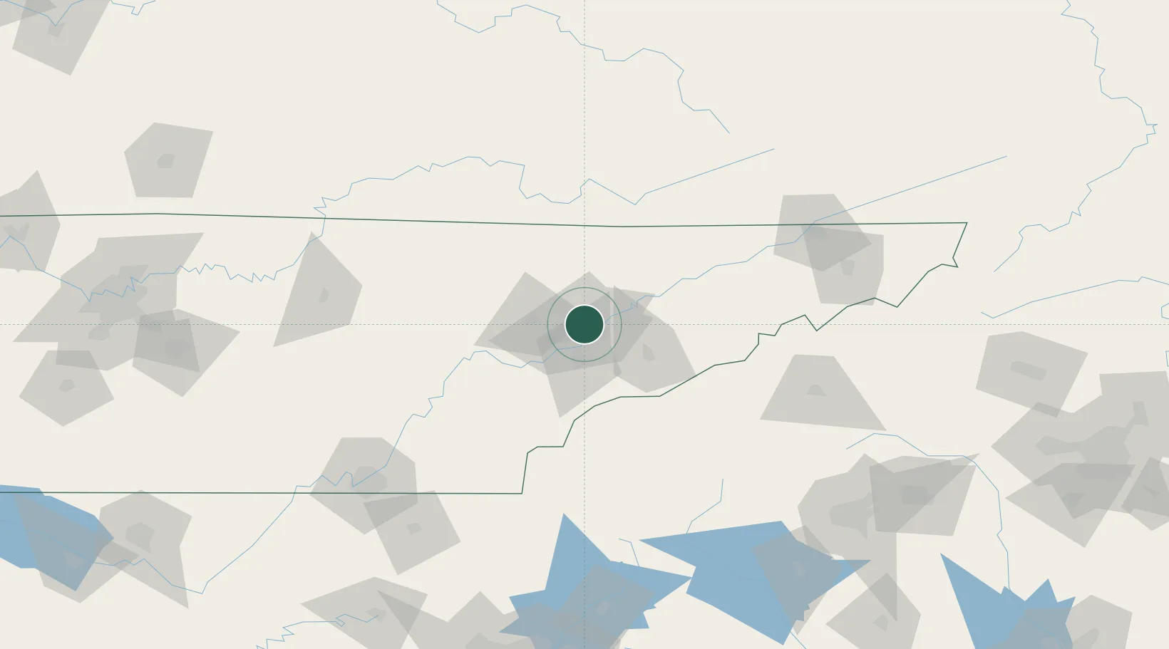
Nearby Logistics Neighbours

Cities
  1. 1Powell6 km
  2. 2Rockford19 km
  3. 3Plainfield26 km
  4. 4Luttrell, Union29 km
  5. 5Lake City29 km
Nearest neighbours — logibook spatial index (haversine) over the source coordinates
Ports
  1. 1Beaufort498 km
  2. 2Port Royal503 km
  3. 3Savannah509 km
  4. 4Charleston515 km
  5. 5Georgetown517 km
Nearest neighbours — logibook spatial index (haversine) over the source coordinates
Airports
  1. 1McGhee Tyson Airport21 km
  2. 2Western Carolina Regional Airport90 km
  3. 3Crossville Memorial Airport Whitson Field102 km
  4. 4London-Corbin Airport/Magee Field121 km
  5. 5Lake Cumberland Regional Airport131 km
Nearest neighbours — logibook spatial index (haversine) over the source coordinates
Trade Zones
  1. 1FTZ No. 148 Knoxville25 km
  2. 2FTZ No. 204 Tri-Cities148 km
  3. 3FTZ No. 134 Chattanooga164 km
  4. 4FTZ No. 038 Spartanburg County198 km
  5. 5FTZ No. 026 Atlanta252 km
Nearest neighbours — logibook spatial index (haversine) over the source coordinates
DatabookThe Record of Consolidated Knowledge
United States beyond logistics?
Browse databook

All Sources

LocationsUN/LOCODE
UN/LOCODE — free
Portsthe NGA World Port Index
Public domain (US gov)
AirportsOurAirports
Public domain
Trade Zonesthe World Bank SEZ database
CC BY 4.0
Trade ZonesOpen Zone Map
CC BY
← United States locations