UN/LOCODE hub · United States
USLCY
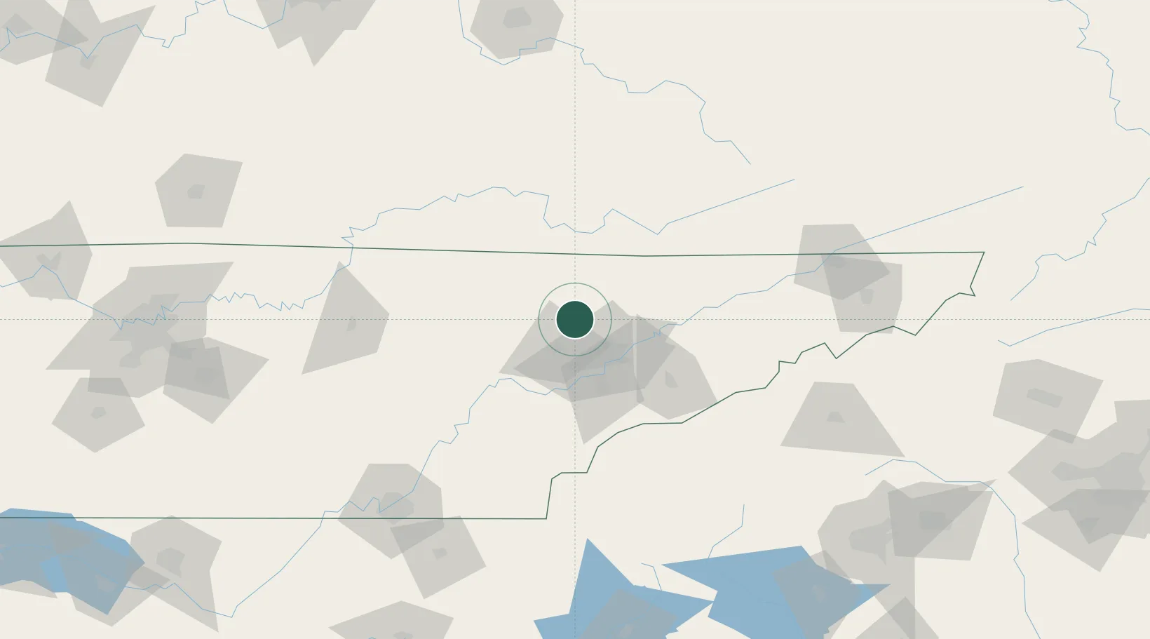
Lake City
36.2000°, -84.1500°
2,727
Population
2
Transport functions
Transport Functions
Rail
Road
Hub Profile
Place type
Populated place
Region
Georgia
Population
2,727
Time zone
America/New_York
Elevation
295 m
Location
Nearby Logistics Neighbours
Cities
- 1Jacksboro13 km
- 2Powell24 km
- 3Arlington, Knox29 km
- 4Coalfield32 km
- 5Maynardville32 km
Ports
- 1Beaufort527 km
- 2Port Royal532 km
- 3Savannah538 km
- 4Huron595 km
- 5Sandusky597 km
Airports
Trade Zones
- 1FTZ No. 148 Knoxville25 km
- 2FTZ No. 204 Tri-Cities159 km
- 3FTZ No. 134 Chattanooga165 km
- 4FTZ No. 038 Spartanburg County226 km
- 5FTZ No. 078 Nashville262 km
DatabookThe Record of Consolidated Knowledge
United States beyond logistics?