Transport Functions
Rail
Road
Multimodal
Hub Profile
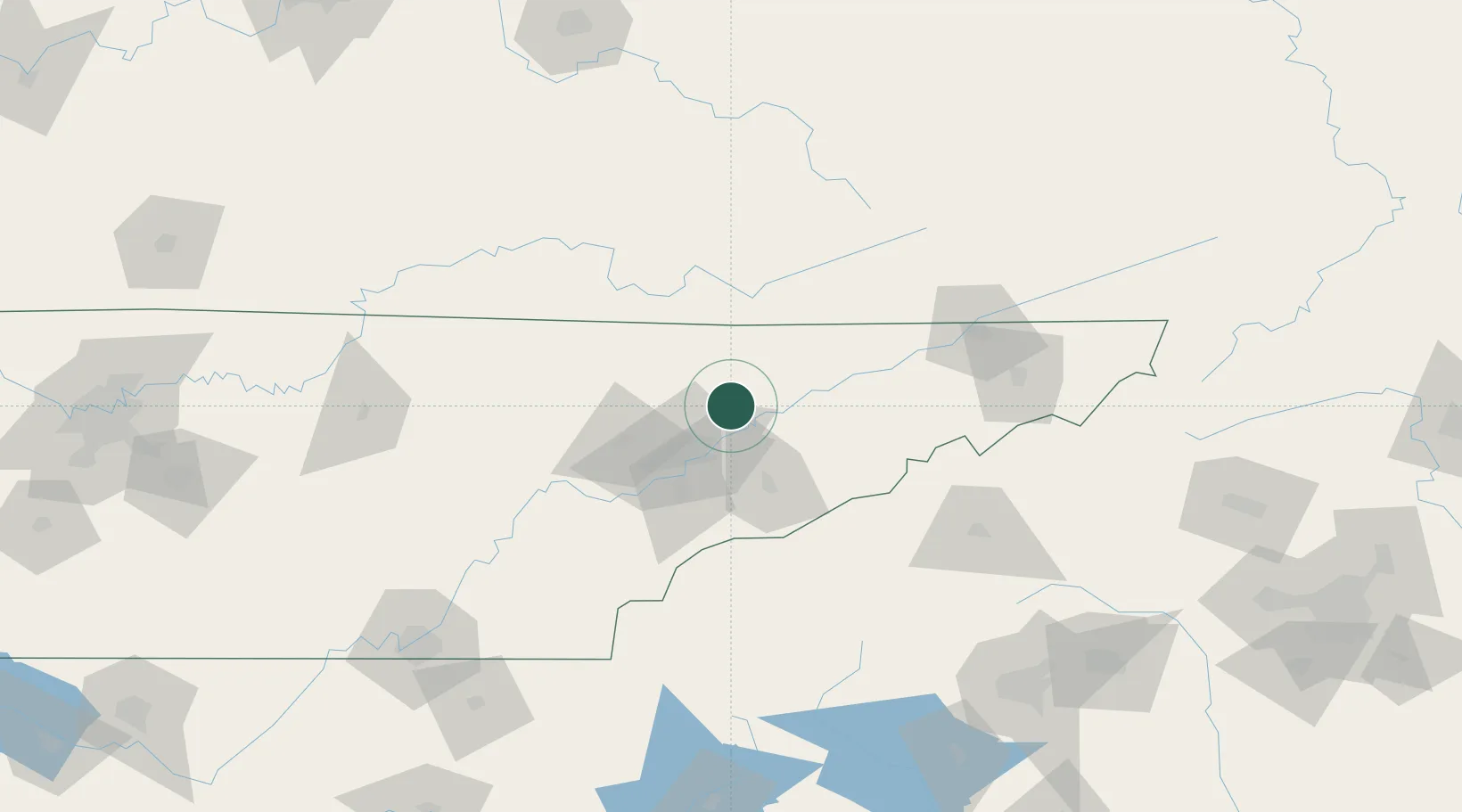
Region
TN
Location
Nearby Logistics Neighbours
Cities
- 1Maynardville7 km
- 2Washburn18 km
- 3Arlington, Knox29 km
- 4Speedwell30 km
- 5Powell32 km
Ports
- 1Beaufort506 km
- 2Port Royal511 km
- 3Georgetown515 km
- 4Charleston517 km
- 5Savannah519 km
Airports
Trade Zones
- 1FTZ No. 148 Knoxville49 km
- 2FTZ No. 204 Tri-Cities124 km
- 3FTZ No. 134 Chattanooga192 km
- 4FTZ No. 038 Spartanburg County199 km
- 5FTZ No. 057 Mecklenburg County262 km
DatabookThe Record of Consolidated Knowledge
United States beyond logistics?