UN/LOCODE hub · United States
USQN2
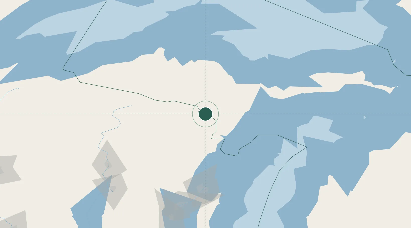
Quinnesec
45.8000°, -87.9833°
1,191
Population
2
Transport functions
Transport Functions
Rail
Road
Hub Profile
Place type
Populated place
Region
Michigan
Population
1,191
Time zone
America/Menominee
Elevation
317 m
Location
Nearby Logistics Neighbours
Airports
Trade Zones
- 1FTZ No. 167 Brown County151 km
- 2FTZ No. 016 Sault Ste. Marie286 km
- 3FTZ No. 019 Omaha295 km
- 4FTZ No. 041 Milwaukee305 km
- 5FTZ No. 189 Kent Ottawa/Muskegon Counties315 km
DatabookThe Record of Consolidated Knowledge
United States beyond logistics?