UN/LOCODE hub · United States
USPS9
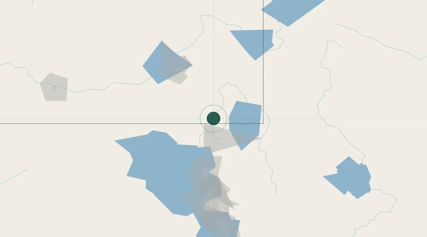
Preston
42.0833°, -111.8667°
5,212
Population
1
Transport functions
Transport Functions
Port
Hub Profile
Place type
Provincial seat
Region
Idaho
Population
5,212
Time zone
America/Boise
Elevation
1,437 m
Location
Nearby Logistics Neighbours
Cities
- 1Richmond18 km
- 2Smithfield28 km
- 3Plymouth33 km
- 4North Logan36 km
- 5Collinston40 km
Ports
- 1The Dalles843 km
- 2Sacramento904 km
- 3Courtland923 km
- 4Walnut Grove924 km
- 5Stockton925 km
Airports
- 1Logan-Cache Airport33 km
- 2Ogden Hinckley Airport99 km
- 3Hill Air Force Base107 km
- 4Pocatello Regional Airport110 km
- 5Evanston-Uinta County Airport-Burns Field113 km
Trade Zones
- 1FTZ No. 030 Salt Lake City146 km
- 2FTZ No. 274 Butte-Silver Bow433 km
- 3FTZ No. 275 Lansing440 km
- 4FTZ No. 280 Ada and Canyon Counties452 km
- 5FTZ No. 088 Great Falls604 km
DatabookThe Record of Consolidated Knowledge
United States beyond logistics?