UN/LOCODE hub · United States
USYPN
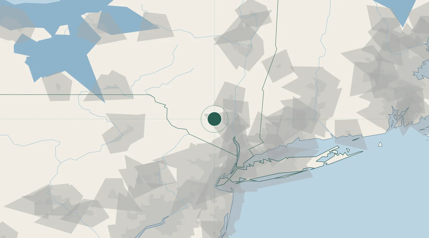
Pine Bush
41.6000°, -74.2833°
1,780
Population
3
Transport functions
Transport Functions
Port
Road
Multimodal
Hub Profile
Place type
Populated place
Region
New York
Population
1,780
Time zone
America/New_York
Elevation
118 m
Location
Nearby Logistics Neighbours
Cities
- 1Gardiner13 km
- 2Campbell Hall17 km
- 3Wurtsboro17 km
- 4Rock Tavern19 km
- 5Phillipsburg19 km
Ports
- 1Newburgh26 km
- 2Poughkeepsie30 km
- 3Kingston45 km
- 4Catskill77 km
- 5Yonkers81 km
Airports
Trade Zones
- 1FTZ No. 037 Orange County58 km
- 2FTZ No. 044 Morris County95 km
- 3FTZ No. 001 New York City102 km
- 4FTZ No. 049 Newark Elizabeth102 km
- 5FTZ No. 076 Bridgeport103 km
DatabookThe Record of Consolidated Knowledge
United States beyond logistics?