UN/LOCODE hub · United States
USYPF
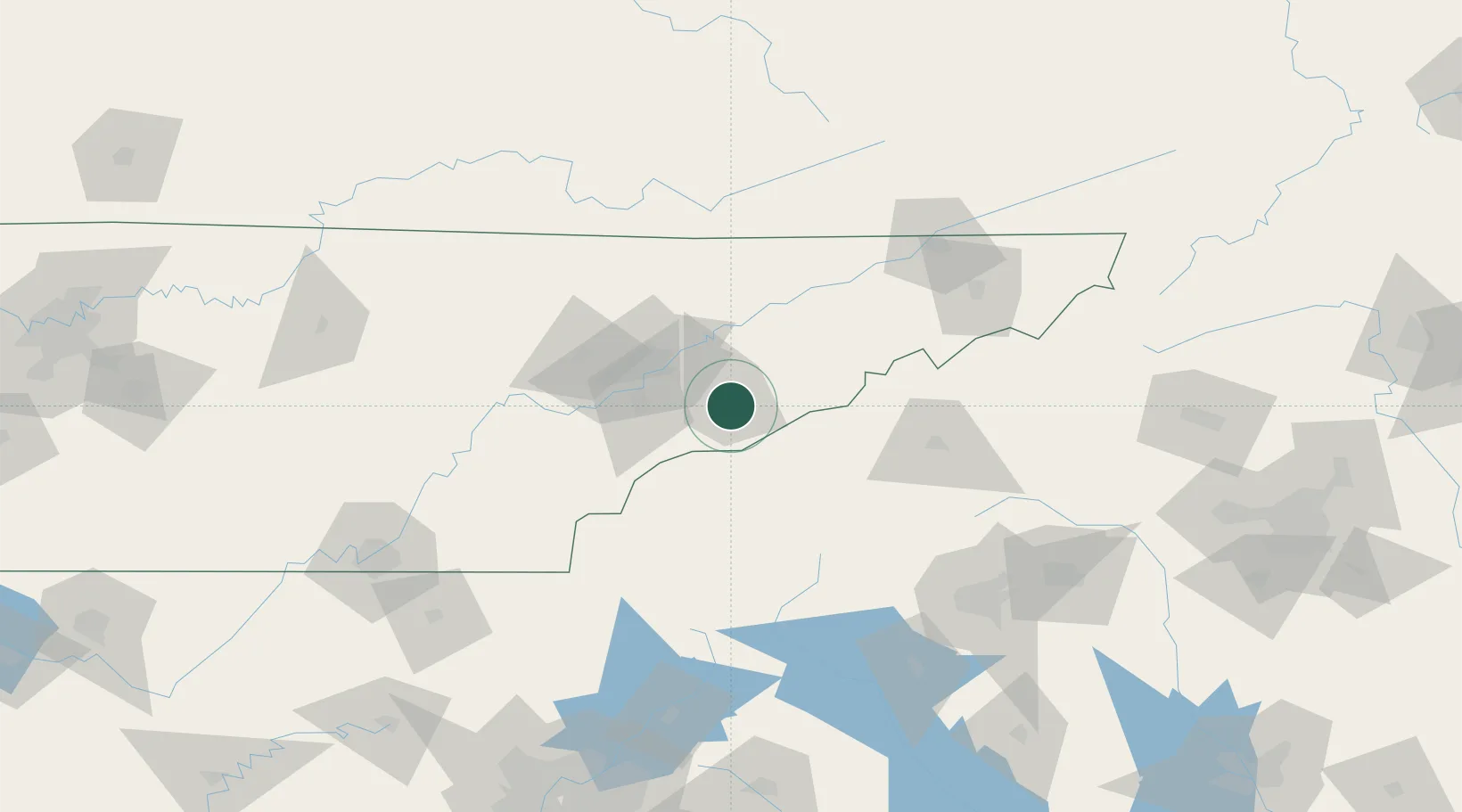
Pigeon Forge
35.7833°, -83.5500°
6,171
Population
3
Transport functions
Transport Functions
Port
Road
Multimodal
Hub Profile
Place type
Populated place
Region
Tennessee
Population
6,171
Time zone
America/New_York
Elevation
305 m
Location
Nearby Logistics Neighbours
Cities
- 1Rockford35 km
- 2Plainfield38 km
- 3White Pine43 km
- 4Talbott43 km
- 5Arlington, Knox43 km
Ports
- 1Beaufort457 km
- 2Port Royal463 km
- 3Savannah470 km
- 4Charleston472 km
- 5Georgetown474 km
Airports
Trade Zones
- 1FTZ No. 148 Knoxville65 km
- 2FTZ No. 204 Tri-Cities129 km
- 3FTZ No. 038 Spartanburg County154 km
- 4FTZ No. 134 Chattanooga182 km
- 5FTZ No. 057 Mecklenburg County231 km
DatabookThe Record of Consolidated Knowledge
United States beyond logistics?