Transport Functions
Rail
Road
Hub Profile
Place type
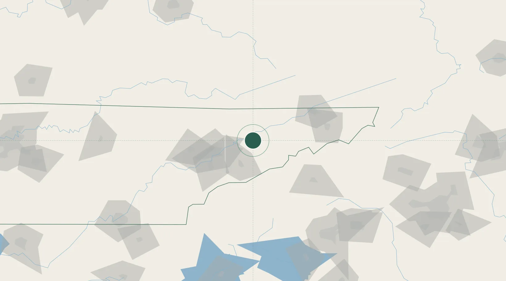
Populated place
Region
Tennessee
Time zone
America/New_York
Elevation
368 m
Location
Nearby Logistics Neighbours
Cities
- 1White Pine12 km
- 2Washburn22 km
- 3Whitesburg27 km
- 4Bulls Gap29 km
- 5Luttrell, Union32 km
Ports
- 1Beaufort484 km
- 2Georgetown487 km
- 3Port Royal489 km
- 4Charleston492 km
- 5Savannah500 km
Airports
Trade Zones
- 1FTZ No. 148 Knoxville76 km
- 2FTZ No. 204 Tri-Cities96 km
- 3FTZ No. 038 Spartanburg County175 km
- 4FTZ No. 134 Chattanooga214 km
- 5FTZ No. 057 Mecklenburg County231 km
DatabookThe Record of Consolidated Knowledge
United States beyond logistics?