Transport Functions
Rail
Road
Hub Profile
Place type
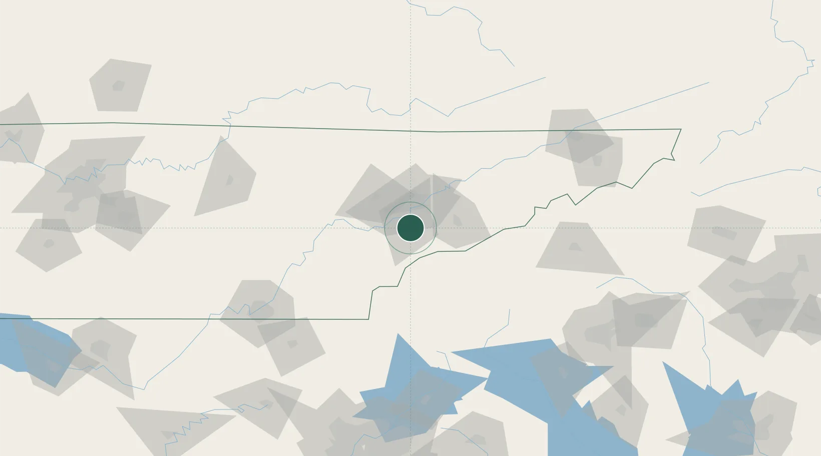
Populated place
Region
Tennessee
Time zone
America/New_York
Elevation
279 m
Location
Nearby Logistics Neighbours
Cities
- 1Rockford8 km
- 2Friendsville15 km
- 3Arlington, Knox26 km
- 4Powell28 km
- 5Pigeon Forge38 km
Ports
- 1Beaufort479 km
- 2Port Royal484 km
- 3Savannah488 km
- 4Charleston498 km
- 5Georgetown505 km
Airports
Trade Zones
- 1FTZ No. 148 Knoxville34 km
- 2FTZ No. 134 Chattanooga148 km
- 3FTZ No. 204 Tri-Cities161 km
- 4FTZ No. 038 Spartanburg County184 km
- 5FTZ No. 026 Atlanta226 km
DatabookThe Record of Consolidated Knowledge
United States beyond logistics?