UN/LOCODE hub · United States
USROF

Rockford

35.8318°, -83.9335°
858
Population
2
Transport functions

Transport Functions

Road
Multimodal
UN/LOCODE

Hub Profile

Place type
Populated place
GeoNames
Region
Tennessee
GeoNames
Population
858
GeoNames
Time zone
America/New_York
GeoNames
Elevation
252 m
GeoNames
Logistics facilities
1
UN/LOCODE

Location

Location of USROF
Natural Earth 10m (public domain) · Tennessee · USROF · 35.83, -83.93GoogleOSMYandex

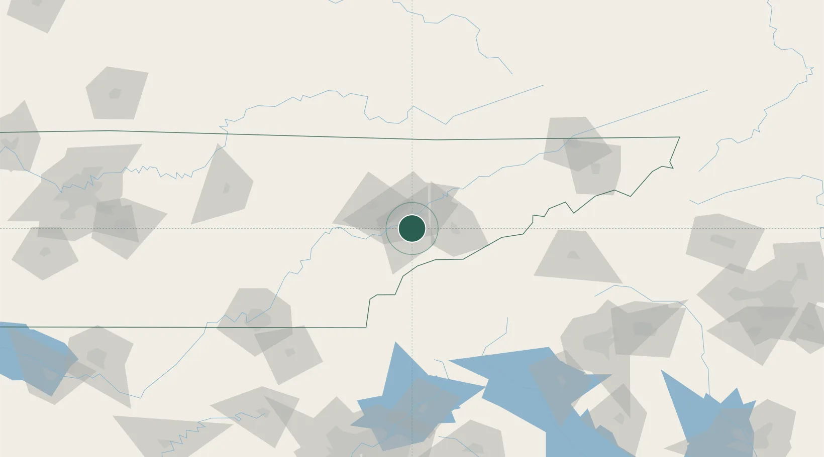
Nearby Logistics Neighbours

Cities
  1. 1Plainfield8 km
  2. 2Arlington, Knox19 km
  3. 3Friendsville20 km
  4. 4Powell22 km
  5. 5Pigeon Forge35 km
Nearest neighbours — logibook spatial index (haversine) over the source coordinates
Ports
  1. 1Beaufort483 km
  2. 2Port Royal488 km
  3. 3Savannah493 km
  4. 4Charleston501 km
  5. 5Georgetown506 km
Nearest neighbours — logibook spatial index (haversine) over the source coordinates
Airports
  1. 1McGhee Tyson Airport6 km
  2. 2Western Carolina Regional Airport71 km
  3. 3Crossville Memorial Airport Whitson Field105 km
  4. 4Asheville Regional Airport133 km
  5. 5London-Corbin Airport/Magee Field140 km
Nearest neighbours — logibook spatial index (haversine) over the source coordinates
Trade Zones
  1. 1FTZ No. 148 Knoxville32 km
  2. 2FTZ No. 134 Chattanooga154 km
  3. 3FTZ No. 204 Tri-Cities155 km
  4. 4FTZ No. 038 Spartanburg County185 km
  5. 5FTZ No. 026 Atlanta234 km
Nearest neighbours — logibook spatial index (haversine) over the source coordinates
DatabookThe Record of Consolidated Knowledge
United States beyond logistics?
Browse databook

All Sources

LocationsUN/LOCODE
UN/LOCODE — free
LocationsGeoNames
CC BY 4.0
Portsthe NGA World Port Index
Public domain (US gov)
AirportsOurAirports
Public domain
Trade Zonesthe World Bank SEZ database
CC BY 4.0
Trade ZonesOpen Zone Map
CC BY
← United States locations