Transport Functions
Rail
Road
Multimodal
Hub Profile
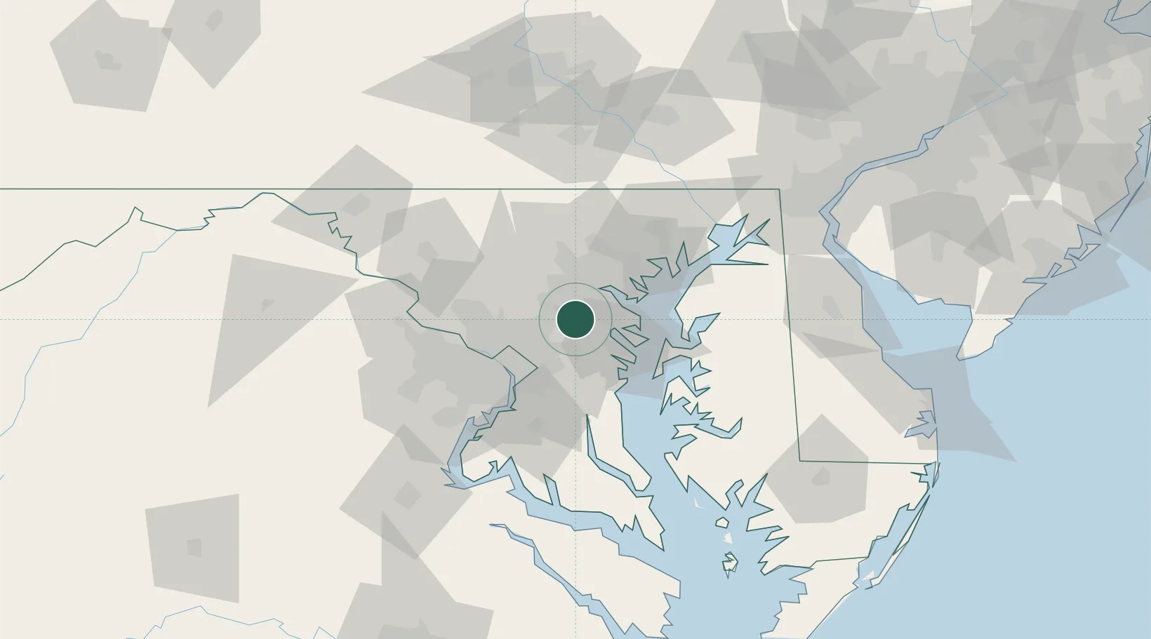
Region
MD
Location
Nearby Logistics Neighbours
Cities
- 1Maryland City8 km
- 2Pasadena15 km
- 3Lansdowne-Baltimore15 km
- 4Arbutus15 km
- 5Brooklyn16 km
Ports
- 1Baltimore21 km
- 2Annapolis26 km
- 3Washington D.C.38 km
- 4Alexandria44 km
- 5Havre De Grace73 km
Airports
Trade Zones
DatabookThe Record of Consolidated Knowledge
United States beyond logistics?