Transport Functions
Rail
Road
Multimodal
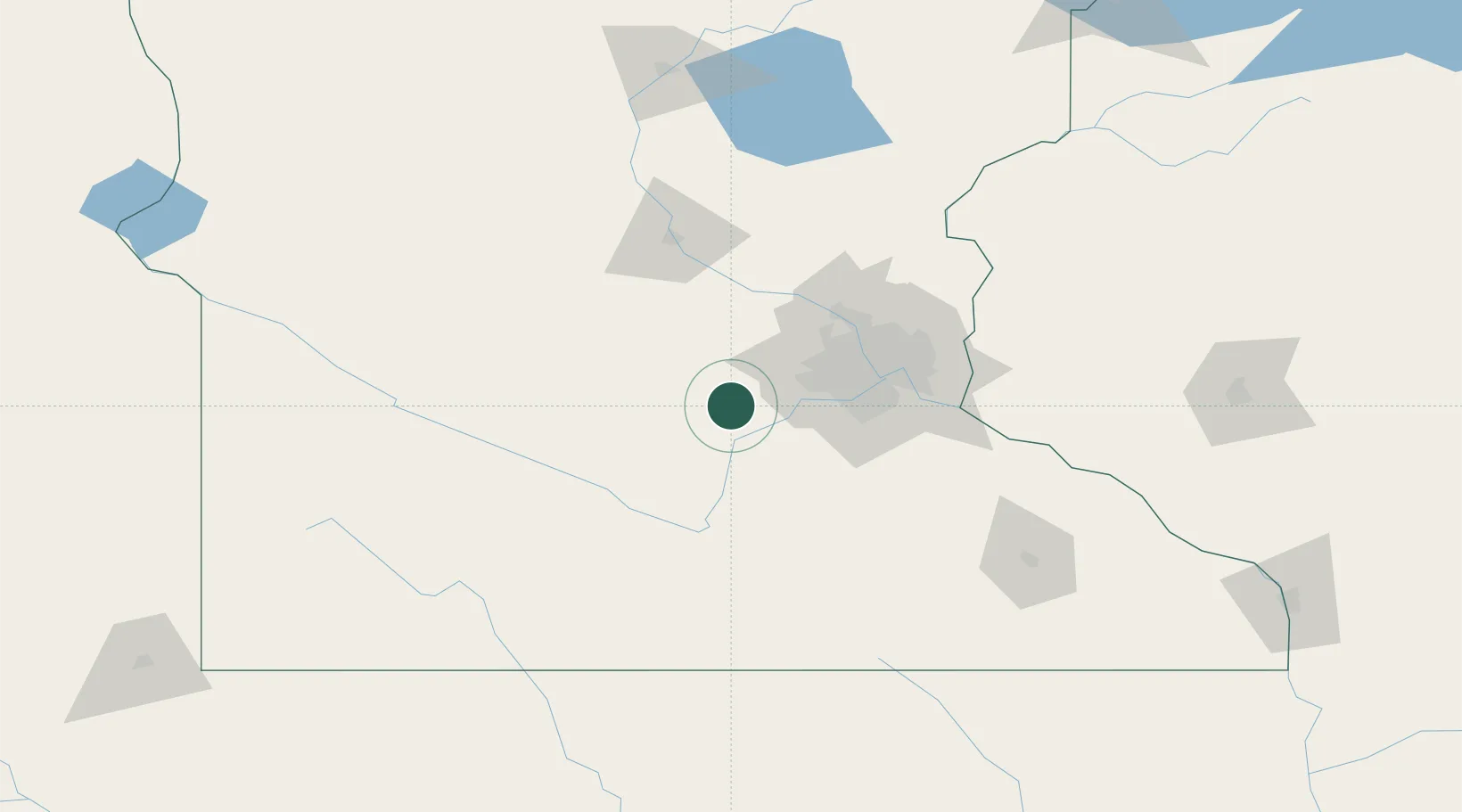
Hub Profile
Place type
Populated place
Region
Iowa
Time zone
America/Chicago
Elevation
317 m
Location
Nearby Logistics Neighbours
Cities
- 1Bongards7 km
- 2Mayer13 km
- 3Glencoe20 km
- 4Belle Plaine21 km
- 5Jordan, Scott25 km
Ports
- 1Superior262 km
- 2Duluth263 km
- 3Two Harbors306 km
- 4Ashland313 km
- 5Washburn316 km
Airports
Trade Zones
- 1FTZ No. 119 Minneapolis-St. Paul58 km
- 2FTZ No. 288 Northwest Iowa248 km
- 3FTZ No. 051 Duluth257 km
- 4FTZ No. 220 Sioux Falls266 km
- 5FTZ No. 267 Fargo331 km
DatabookThe Record of Consolidated Knowledge
United States beyond logistics?