Transport Functions
Rail
Road
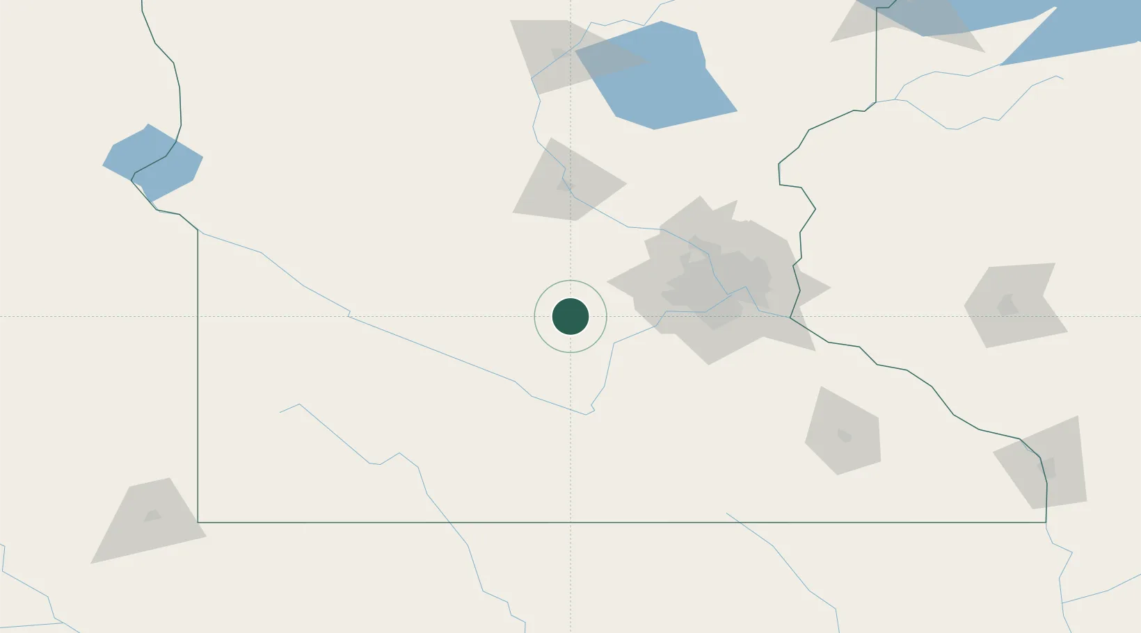
Hub Profile
Place type
Provincial seat
Region
Minnesota
Population
5,521
Time zone
America/Chicago
Elevation
304 m
Location
Nearby Logistics Neighbours
Cities
- 1Stewart, McLeod16 km
- 2Norwood20 km
- 3Mayer26 km
- 4Bongards26 km
- 5Howard Lake33 km
Ports
- 1Superior273 km
- 2Duluth274 km
- 3Two Harbors317 km
- 4Ashland328 km
- 5Washburn331 km
Airports
Trade Zones
- 1FTZ No. 119 Minneapolis-St. Paul77 km
- 2FTZ No. 288 Northwest Iowa235 km
- 3FTZ No. 220 Sioux Falls249 km
- 4FTZ No. 051 Duluth267 km
- 5FTZ No. 267 Fargo318 km
DatabookThe Record of Consolidated Knowledge
United States beyond logistics?