Transport Functions
Rail
Road
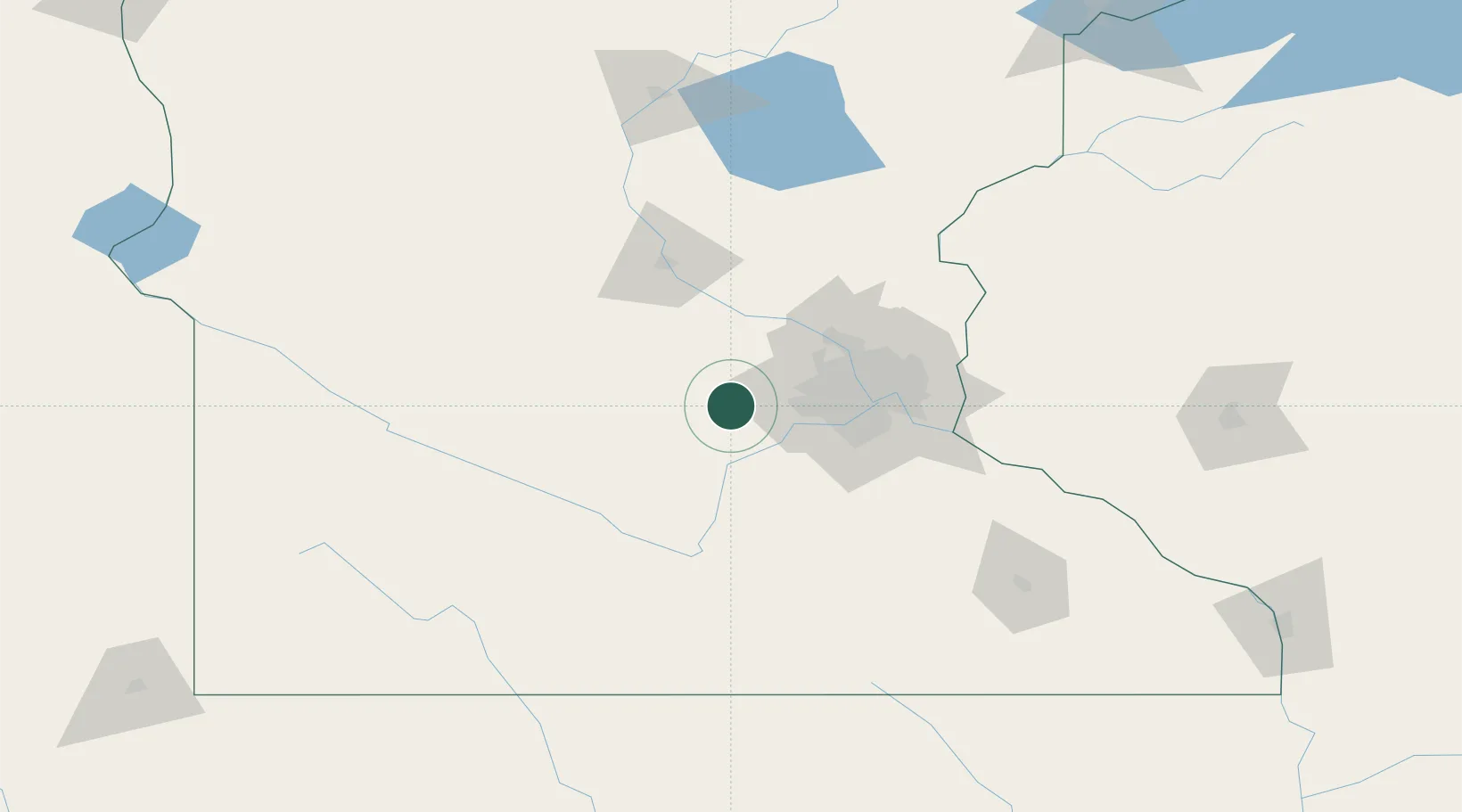
Hub Profile
Place type
Populated place
Region
Minnesota
Population
1,903
Time zone
America/Chicago
Elevation
293 m
Location
Nearby Logistics Neighbours
Cities
- 1Norwood13 km
- 2Bongards15 km
- 3Maple Plain23 km
- 4Howard Lake24 km
- 5Orono24 km
Ports
- 1Superior249 km
- 2Duluth251 km
- 3Two Harbors293 km
- 4Ashland302 km
- 5Washburn306 km
Airports
Trade Zones
- 1FTZ No. 119 Minneapolis-St. Paul52 km
- 2FTZ No. 051 Duluth245 km
- 3FTZ No. 288 Northwest Iowa259 km
- 4FTZ No. 220 Sioux Falls275 km
- 5FTZ No. 267 Fargo324 km
DatabookThe Record of Consolidated Knowledge
United States beyond logistics?