Transport Functions
Rail
Road
Hub Profile
Place type
Populated place
Region
Virginia
Time zone
America/New_York
Elevation
98 m
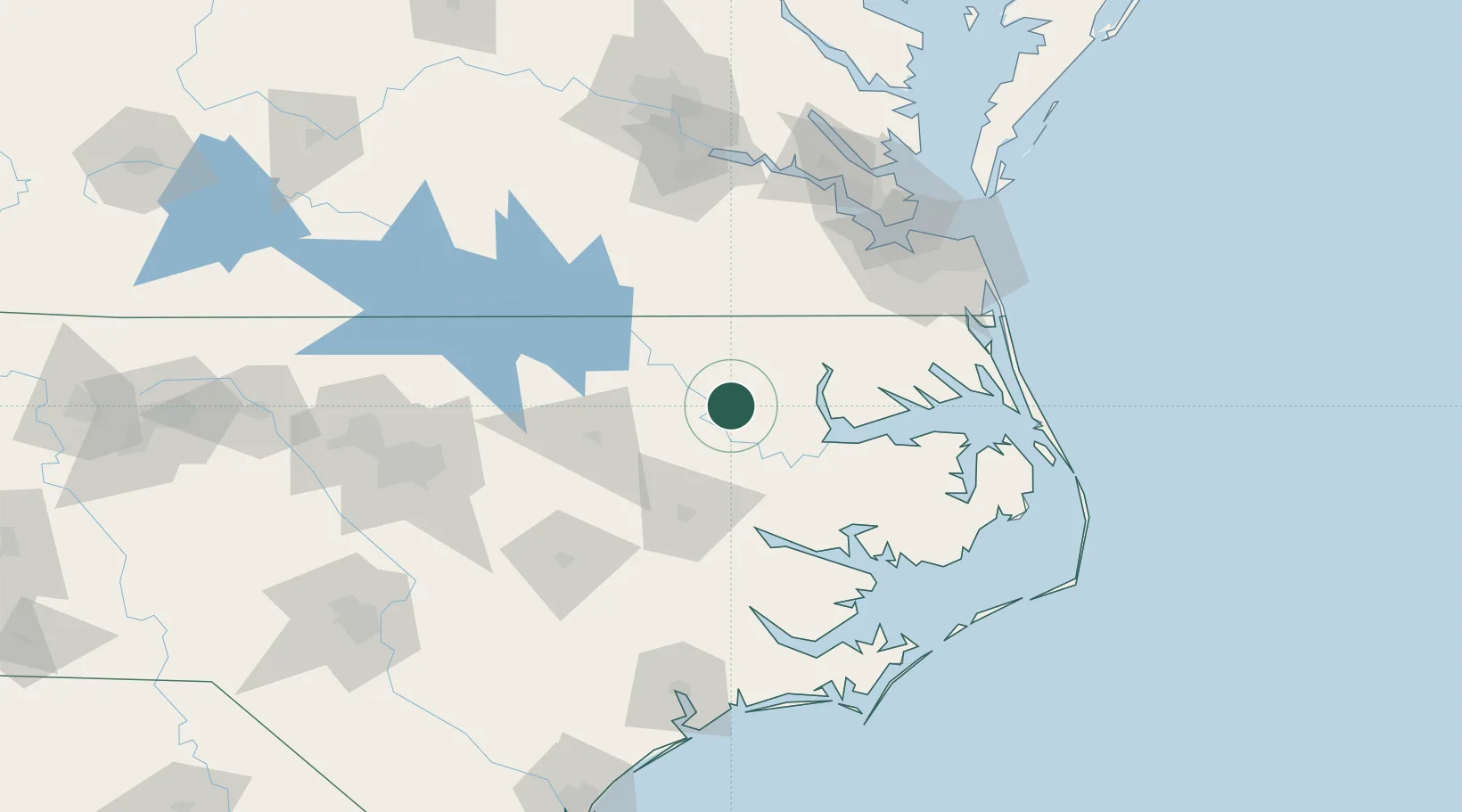
Location
Nearby Logistics Neighbours
Cities
- 1Rich Square20 km
- 2Hamilton21 km
- 3Everetts32 km
- 4Robersonville34 km
- 5Merry Hill38 km
Ports
- 1Plymouth47 km
- 2Edenton50 km
- 3Hertford63 km
- 4Washington64 km
- 5Belhaven75 km
Airports
Trade Zones
- 1FTZ No. 020 Suffolk103 km
- 2FTZ No. 214 Lenoir County120 km
- 3FTZ No. 093 Raleigh Durham158 km
- 4FTZ No. 207 Richmond161 km
- 5FTZ No. 230 Piedmont Triad Area268 km
DatabookThe Record of Consolidated Knowledge
United States beyond logistics?