Transport Functions
Rail
Road
Hub Profile
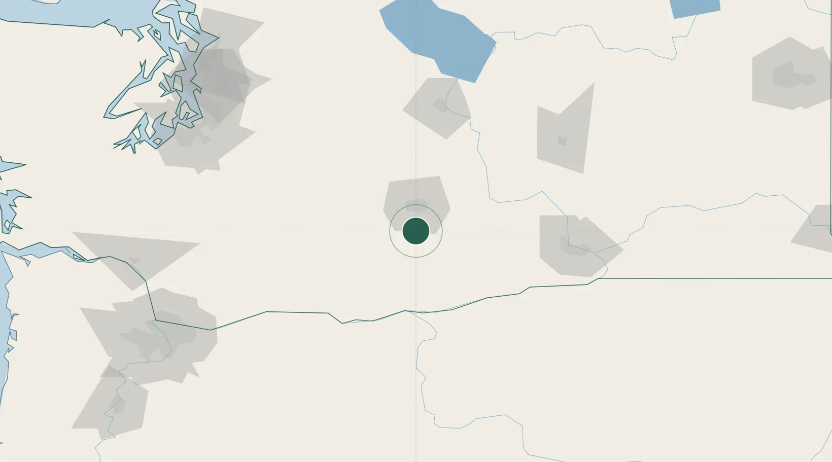
Place type
Populated place
Region
Washington
Population
628
Time zone
America/Los_Angeles
Elevation
254 m
Location
Nearby Logistics Neighbours
Cities
- 1Union Gap17 km
- 2Moxee City21 km
- 3Selah28 km
- 4Granger28 km
- 5Cowiche32 km
Ports
- 1The Dalles102 km
- 2Washougal167 km
- 3Camas170 km
- 4Tacoma174 km
- 5Kalama183 km
Airports
Trade Zones
- 1FTZ No. 203 Moses Lake122 km
- 2FTZ No. 086 Tacoma172 km
- 3FTZ No. 212 Tacoma179 km
- 4FTZ No. 296 Vancouver187 km
- 5FTZ No. 120 Cowlitz County193 km
DatabookThe Record of Consolidated Knowledge
United States beyond logistics?