UN/LOCODE hub · United States
USXXE
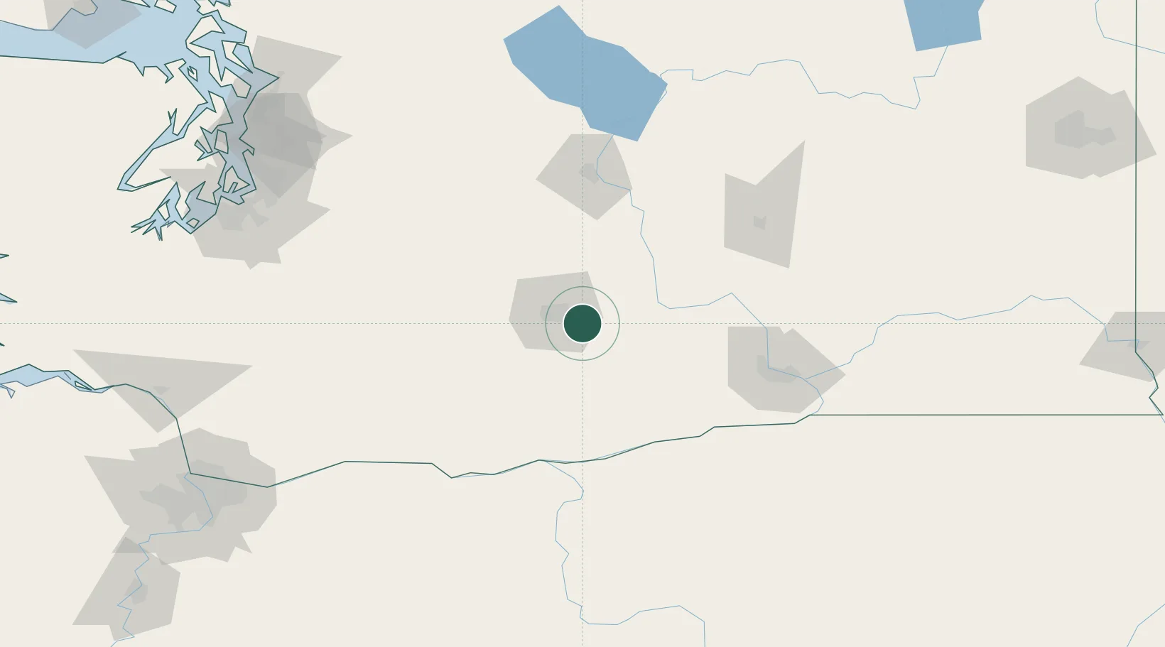
Moxee City
46.5500°, -120.3667°
821
Population
2
Transport functions
Transport Functions
Rail
Road
Hub Profile
Place type
Populated place
Region
Washington
Population
821
Time zone
America/Los_Angeles
Elevation
324 m
Location
Nearby Logistics Neighbours
Ports
- 1The Dalles123 km
- 2Tacoma176 km
- 3Washougal187 km
- 4Seattle189 km
- 5Camas190 km
Airports
Trade Zones
- 1FTZ No. 203 Moses Lake102 km
- 2FTZ No. 086 Tacoma175 km
- 3FTZ No. 212 Tacoma182 km
- 4FTZ No. 005 Seattle199 km
- 5FTZ No. 216 Olympia203 km
DatabookThe Record of Consolidated Knowledge
United States beyond logistics?