UN/LOCODE hub · United States
USYUG

Union Gap

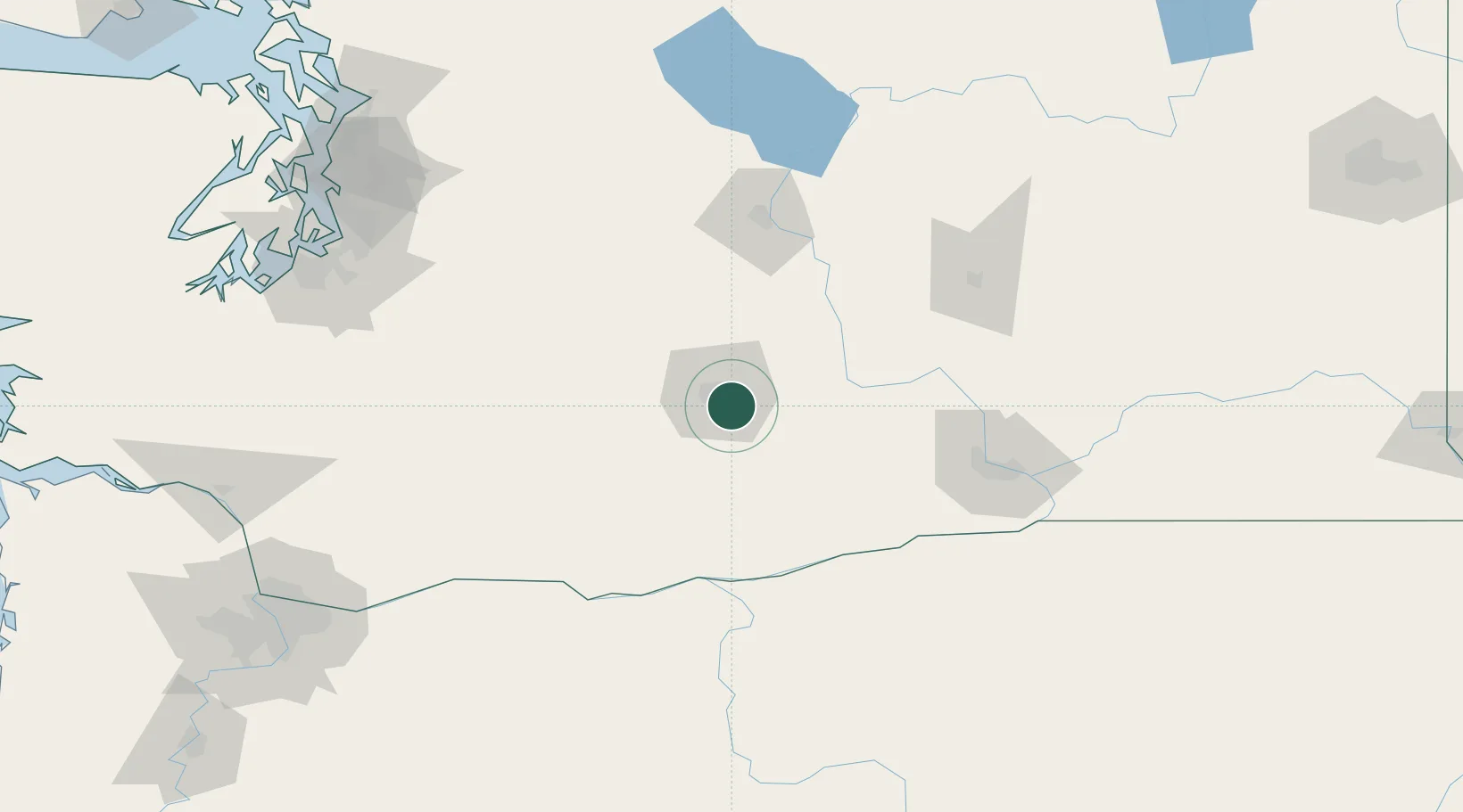
46.5500°, -120.4667°
6,037
Population
3
Transport functions

Transport Functions

Port
Rail
Road
UN/LOCODE

Hub Profile

Place type
Populated place
GeoNames
Region
Washington
GeoNames
Population
6,037
GeoNames
Time zone
America/Los_Angeles
GeoNames
Elevation
300 m
GeoNames

Location

Location of USYUG
Natural Earth 10m (public domain) · Washington · USYUG · 46.55, -120.47GoogleOSMYandex

Nearby Logistics Neighbours

Cities
  1. 1Moxee City8 km
  2. 2Selah12 km
  3. 3Harrah17 km
  4. 4Cowiche22 km
  5. 5Naches25 km
Nearest neighbours — logibook spatial index (haversine) over the source coordinates
Ports
  1. 1The Dalles119 km
  2. 2Tacoma169 km
  3. 3Washougal181 km
  4. 4Seattle183 km
  5. 5Camas184 km
Nearest neighbours — logibook spatial index (haversine) over the source coordinates
Airports
  1. 1Yakima Air Terminal McAllister Field6 km
  2. 2Pangborn Memorial Airport96 km
  3. 3Tri Cities Airport108 km
  4. 4Grant County International Airport114 km
  5. 5Columbia Gorge Regional Airport117 km
Nearest neighbours — logibook spatial index (haversine) over the source coordinates
Trade Zones
  1. 1FTZ No. 203 Moses Lake108 km
  2. 2FTZ No. 086 Tacoma168 km
  3. 3FTZ No. 212 Tacoma175 km
  4. 4FTZ No. 005 Seattle193 km
  5. 5FTZ No. 216 Olympia195 km
Nearest neighbours — logibook spatial index (haversine) over the source coordinates
DatabookThe Record of Consolidated Knowledge
United States beyond logistics?
Browse databook

All Sources

LocationsUN/LOCODE
UN/LOCODE — free
LocationsGeoNames
CC BY 4.0
Portsthe NGA World Port Index
Public domain (US gov)
AirportsOurAirports
Public domain
Trade Zonesthe World Bank SEZ database
CC BY 4.0
Trade ZonesOpen Zone Map
CC BY
← United States locations