UN/LOCODE hub · United States
USYMQ
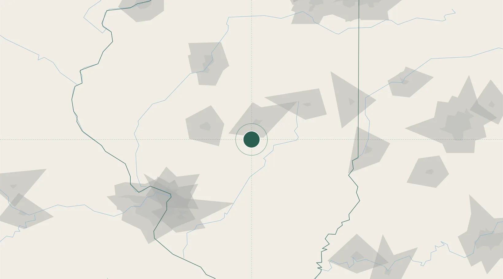
Moweaqua
39.6167°, -89.0167°
1,751
Population
3
Transport functions
Transport Functions
Rail
Road
Multimodal
Hub Profile
Place type
Populated place
Region
Illinois
Population
1,751
Time zone
America/Chicago
Elevation
194 m
Location
Nearby Logistics Neighbours
Cities
- 1Stonington14 km
- 2Pana27 km
- 3Decatur30 km
- 4Warrensburg34 km
- 5Forsyth36 km
Ports
- 1Gary264 km
- 2Indiana Harbor264 km
- 3Calumet Harbor267 km
- 4Chicago279 km
- 5Michigan City295 km
Airports
Trade Zones
- 1FTZ No. 245 Decatur27 km
- 2FTZ No. 114 Peoria130 km
- 3FTZ No. 031 Granite City141 km
- 4FTZ No. 102 St. Louis County182 km
- 5FTZ No. 177 Evansville217 km
DatabookThe Record of Consolidated Knowledge
United States beyond logistics?