UN/LOCODE hub · United States
USDEC
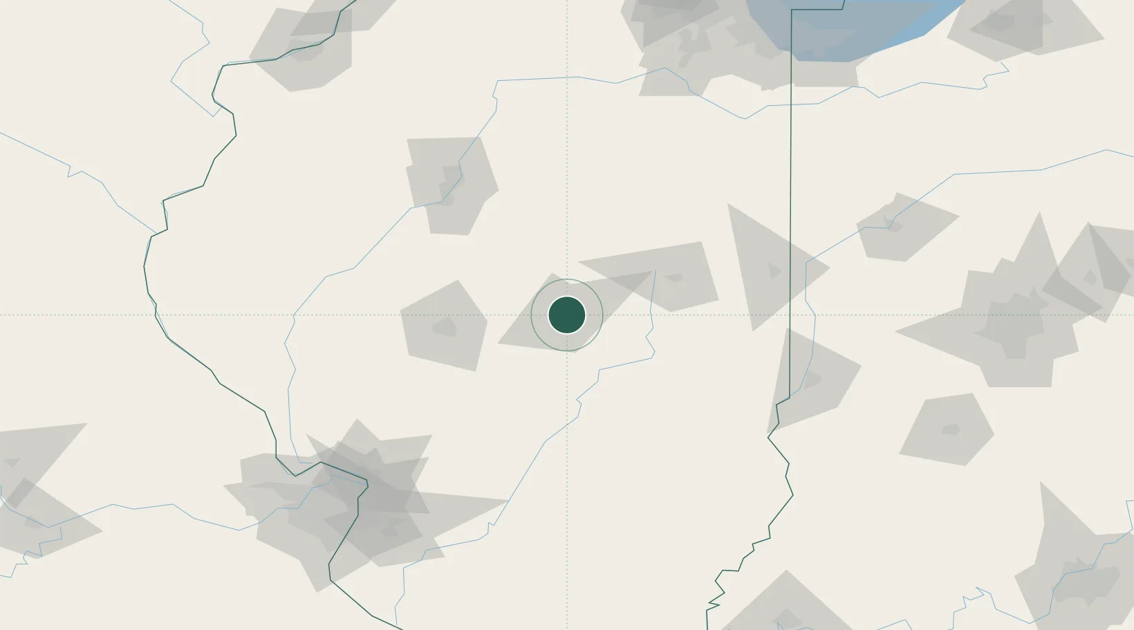
Decatur
39.8744°, -88.9072°
73,254
Population
2
Transport functions
Transport Functions
Port
Airport
Hub Profile
Place type
Provincial seat
Region
Illinois
Population
73,254
Time zone
America/Chicago
Elevation
205 m
Logistics facilities
8
Location
Nearby Logistics Neighbours
Cities
- 1Forsyth8 km
- 2Warrensburg13 km
- 3Cerro Gordo15 km
- 4Maroa18 km
- 5Moweaqua30 km
Ports
- 1Gary235 km
- 2Indiana Harbor235 km
- 3Calumet Harbor238 km
- 4Chicago249 km
- 5Wilmette266 km
Airports
Trade Zones
- 1FTZ No. 245 Decatur13 km
- 2FTZ No. 114 Peoria108 km
- 3FTZ No. 031 Granite City168 km
- 4FTZ No. 102 St. Louis County207 km
- 5FTZ No. 055 Burlington213 km
DatabookThe Record of Consolidated Knowledge
United States beyond logistics?