UN/LOCODE hub · United States
USJCQ
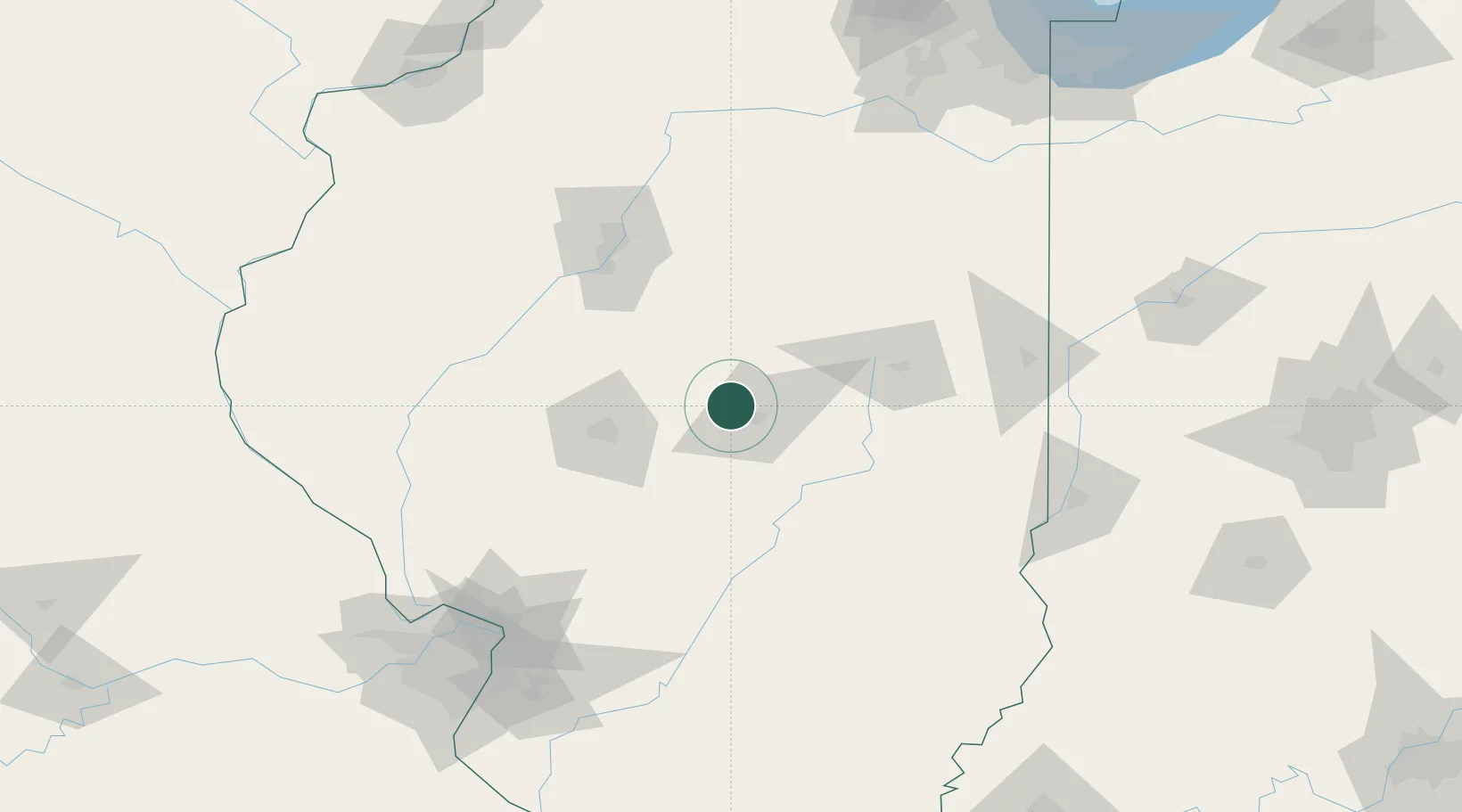
Warrensburg
39.9167°, -89.0500°
1,163
Population
2
Transport functions
Transport Functions
Port
Multimodal
Hub Profile
Place type
Populated place
Region
Illinois
Population
1,163
Time zone
America/Chicago
Elevation
215 m
Location
Nearby Logistics Neighbours
Cities
- 1Forsyth9 km
- 2Decatur13 km
- 3Maroa16 km
- 4Cerro Gordo27 km
- 5Mechanicsburg31 km
Ports
- 1Indiana Harbor238 km
- 2Gary238 km
- 3Calumet Harbor240 km
- 4Chicago250 km
- 5Wilmette267 km
Airports
Trade Zones
- 1FTZ No. 245 Decatur7 km
- 2FTZ No. 114 Peoria98 km
- 3FTZ No. 031 Granite City164 km
- 4FTZ No. 055 Burlington200 km
- 5FTZ No. 102 St. Louis County201 km
DatabookThe Record of Consolidated Knowledge
United States beyond logistics?