UN/LOCODE hub · United States
USSN6
Stonington
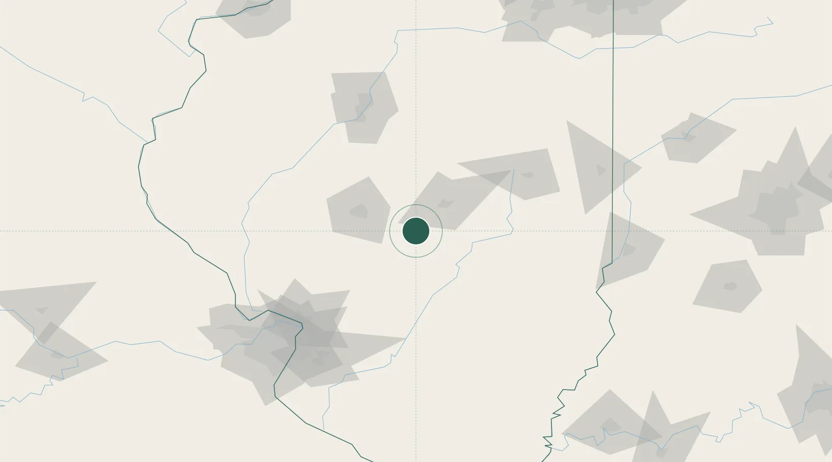
39.6333°, -89.1833°
890
Population
1
Transport functions
Transport Functions
Multimodal
Hub Profile
Place type
Populated place
Region
Illinois
Population
890
Time zone
America/Chicago
Elevation
186 m
Location
Nearby Logistics Neighbours
Cities
- 1Moweaqua14 km
- 2Mechanicsburg25 km
- 3Pana29 km
- 4Morrisonville33 km
- 5Warrensburg34 km
Ports
- 1Indiana Harbor270 km
- 2Gary270 km
- 3Calumet Harbor273 km
- 4Chicago284 km
- 5Wilmette300 km
Airports
Trade Zones
- 1FTZ No. 245 Decatur27 km
- 2FTZ No. 114 Peoria123 km
- 3FTZ No. 031 Granite City133 km
- 4FTZ No. 102 St. Louis County171 km
- 5FTZ No. 055 Burlington209 km
DatabookThe Record of Consolidated Knowledge
United States beyond logistics?