Transport Functions
Rail
Road
Hub Profile
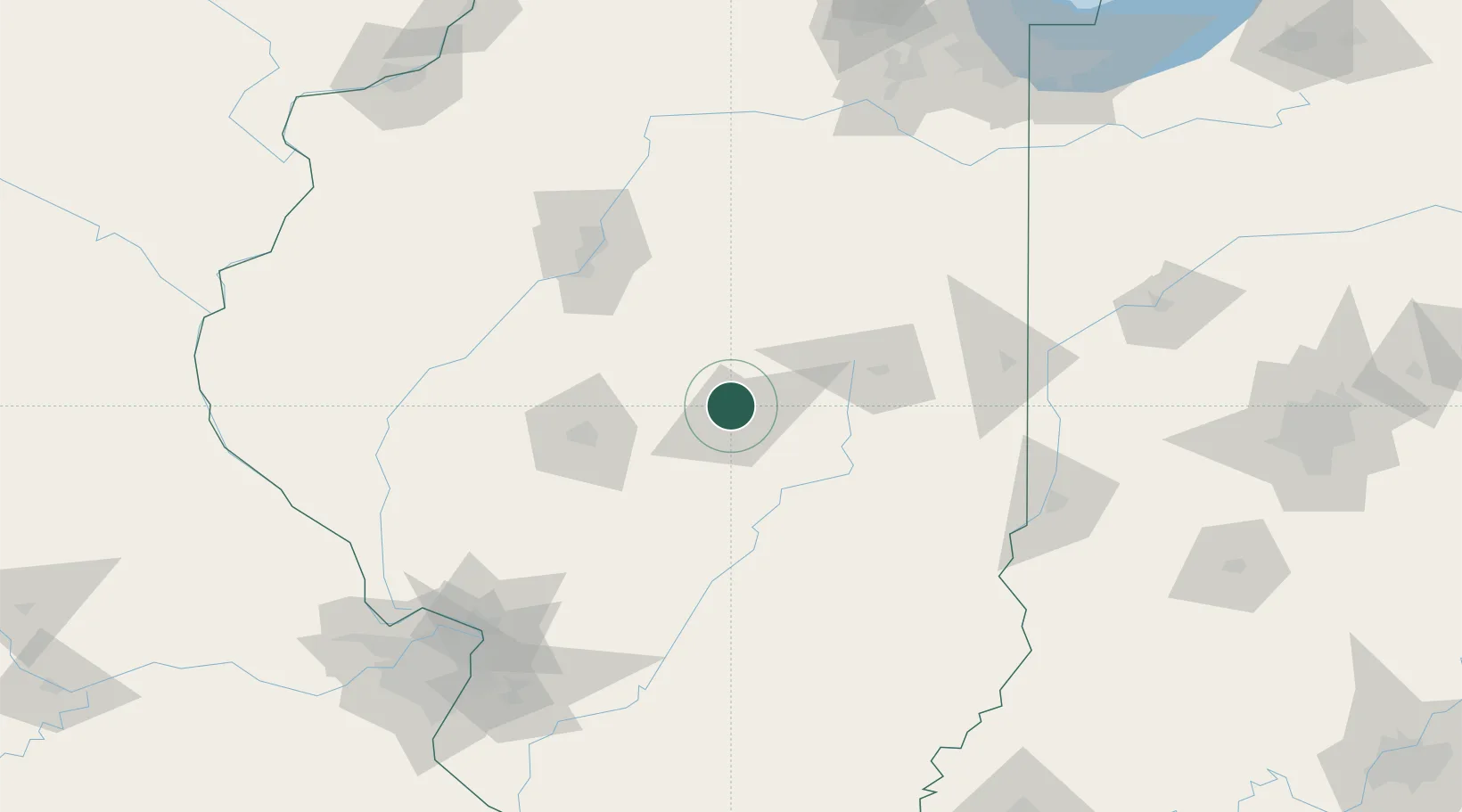
Place type
Populated place
Region
Illinois
Population
3,584
Time zone
America/Chicago
Elevation
207 m
Location
Nearby Logistics Neighbours
Cities
- 1Decatur8 km
- 2Warrensburg9 km
- 3Maroa11 km
- 4Cerro Gordo19 km
- 5Moweaqua36 km
Ports
- 1Indiana Harbor231 km
- 2Gary231 km
- 3Calumet Harbor234 km
- 4Chicago245 km
- 5Wilmette262 km
Airports
Trade Zones
- 1FTZ No. 245 Decatur13 km
- 2FTZ No. 114 Peoria101 km
- 3FTZ No. 031 Granite City171 km
- 4FTZ No. 055 Burlington207 km
- 5FTZ No. 102 St. Louis County208 km
DatabookThe Record of Consolidated Knowledge
United States beyond logistics?