Medium airport · United States
Abraham Lincoln Capital AirportKSPI
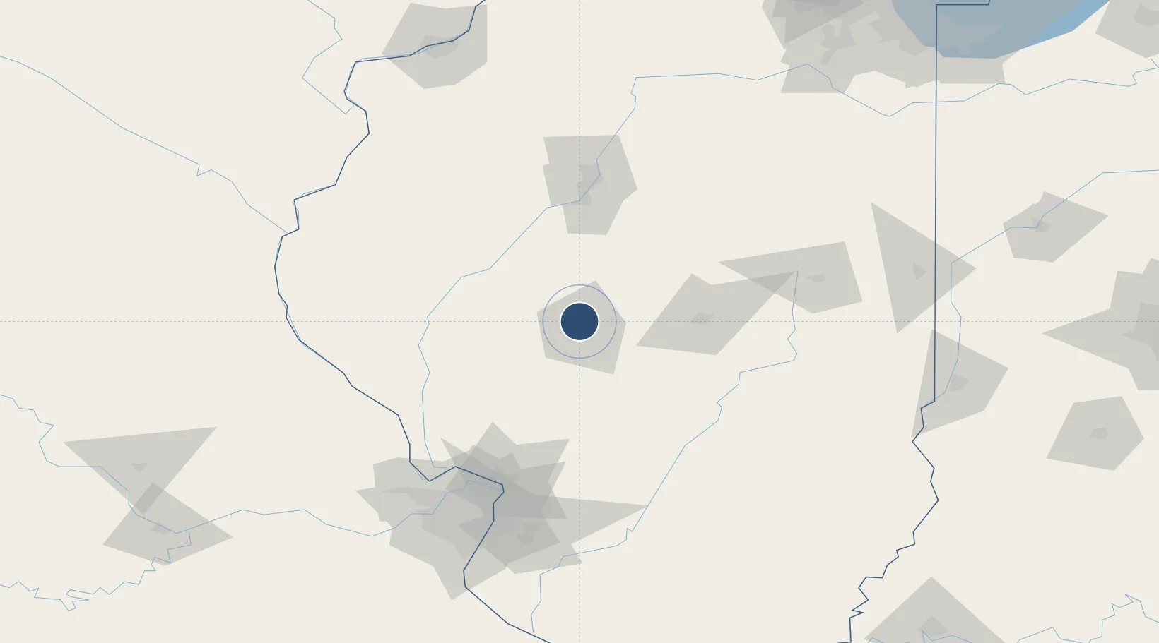
39.8441°, -89.6779°
8,001 ft
Longest runway
3
Runways
598 ft
Elevation
Runway & Layout

Radio Frequencies
ATIS
127.65 MHz
TWR
121.3 MHz
SPRINGFIELD TWR
GND
121.9 MHz
CLD
121.7 MHz
CLNC DEL
CTAF
121.3 MHz
A/D
118.6 MHz
SPRINGFIELD APP/DEP
OPS
27.217 MHz
ANG OPS
RDO
122.25 MHz
ST LOUIS RDO
UNIC
131.42 MHz
UNICOM
Navaids
LQ NDB Licol 375 kHz
SP NDB Huskk 382 kHz
SPI VORTAC Spinner 112.70 MHz
Runways · 3
| Runway | Dimensions | Surface | True heading | Lit |
|---|---|---|---|---|
| 04/22 | 8,001 × 150ft | Concrete | 042° | ✓ |
| 13/31 | 7,399 × 150ft | Asphalt | 127° | ✓ |
| 18/36 | 5,300 × 150ft | Asphalt / concrete | 180° | ✓ |
Airport Specifications
IATA code
SPI
ICAO code
KSPI
Airport class
Medium airport
Scheduled service
Yes
Runway surface
Concrete
Served city
Springfield
Location
Nearby Logistics Neighbours
Airports
Cities
- 1Petersburg, Menard22 km
- 2Mechanicsburg26 km
- 3Auburn28 km
- 4Lemmon36 km
- 5Girard46 km
Ports
- 1Indiana Harbor277 km
- 2Calumet Harbor278 km
- 3Gary279 km
- 4Chicago286 km
- 5Wilmette300 km
Trade Zones
- 1FTZ No. 245 Decatur53 km
- 2FTZ No. 114 Peoria95 km
- 3FTZ No. 031 Granite City131 km
- 4FTZ No. 102 St. Louis County160 km
- 5FTZ No. 055 Burlington162 km
DatabookThe Record of Consolidated Knowledge
United States beyond logistics?