Transport Functions
Rail
Road
Hub Profile
Place type
Populated place
Region
Illinois
Population
5,607
Time zone
America/Chicago
Elevation
213 m
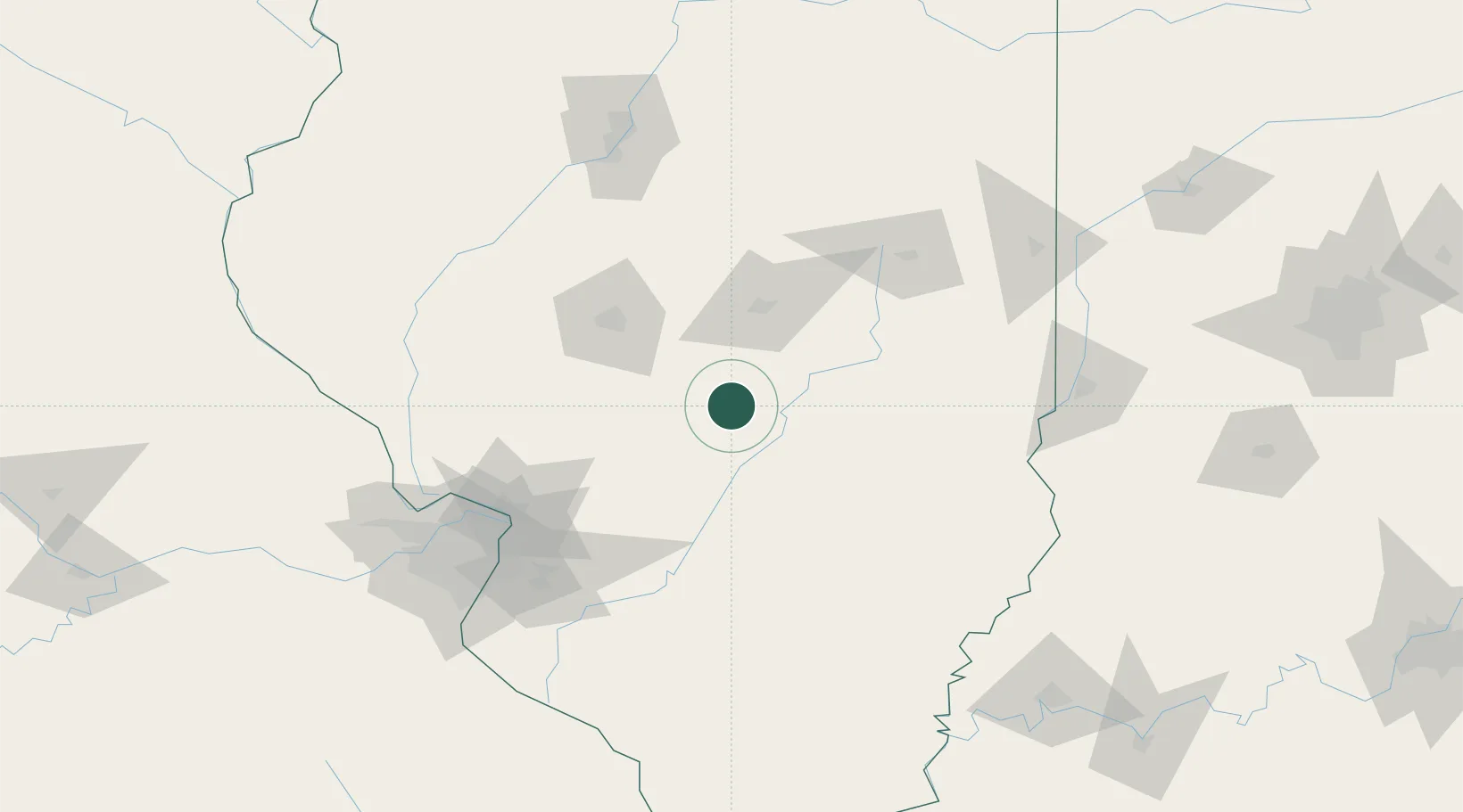
Location
Nearby Logistics Neighbours
Cities
- 1Moweaqua27 km
- 2Stonington29 km
- 3Morrisonville32 km
- 4Holland, Effingham34 km
- 5Sullivan47 km
Ports
- 1Gary289 km
- 2Indiana Harbor290 km
- 3Calumet Harbor293 km
- 4Chicago305 km
- 5Michigan City320 km
Airports
Trade Zones
- 1FTZ No. 245 Decatur53 km
- 2FTZ No. 031 Granite City120 km
- 3FTZ No. 114 Peoria152 km
- 4FTZ No. 102 St. Louis County163 km
- 5FTZ No. 177 Evansville200 km
DatabookThe Record of Consolidated Knowledge
United States beyond logistics?