Medium airport · United States
St Louis Regional AirportKALN
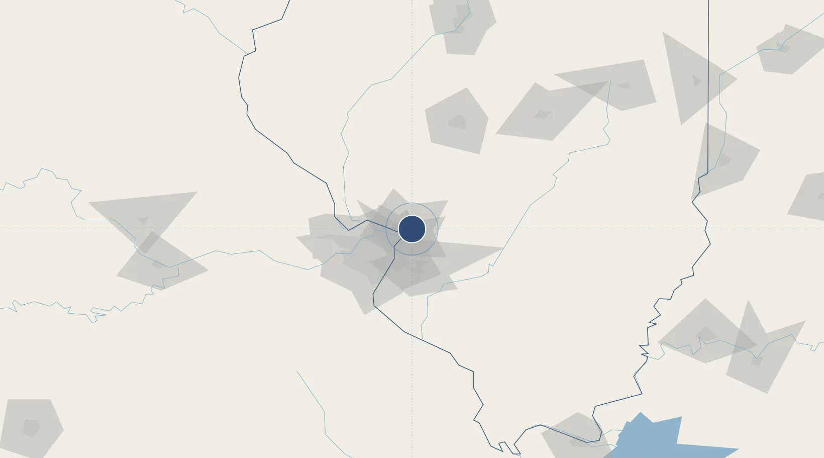
38.8903°, -90.0460°
8,099 ft
Longest runway
2
Runways
544 ft
Elevation
Runway & Layout

Radio Frequencies
ATIS
128 MHz
AWOS
128 MHz
AWOS 3
TWR
126 MHz
REGIONAL TWR
GND
120.2 MHz
CLD
120.2 MHz
CLNC DEL
CTAF
126 MHz
A/D
124.2 MHz
APP/DEP
RDO
122.05 MHz
UNIC
122.95 MHz
UNICOM
Navaids
AL NDB Alpos 218 kHz
CVM NDB Civic Mem 263 kHz
TOY VORTAC Troy 116.00 MHz
Runways · 2
| Runway | Dimensions | Surface | True heading | Lit |
|---|---|---|---|---|
| 11/29 | 8,099 × 150ft | Asphalt | 113° | ✓ |
| 17/35 | 6,500 × 100ft | Asphalt | 173° | ✓ |
Airport Specifications
IATA code
ALN
ICAO code
KALN
Airport class
Medium airport
Scheduled service
No
Runway surface
Asphalt
Served city
Alton/St Louis
Location
Nearby Logistics Neighbours
Airports
Cities
- 1South Roxana8 km
- 2Edwardsville13 km
- 3Pontoon Beach18 km
- 4Bunker Hill18 km
- 5Hamel18 km
Ports
- 1Indiana Harbor380 km
- 2Gary381 km
- 3Calumet Harbor382 km
- 4Chicago392 km
- 5Wilmette407 km
Trade Zones
- 1FTZ No. 031 Granite City22 km
- 2FTZ No. 102 St. Louis County64 km
- 3FTZ No. 245 Decatur137 km
- 4FTZ No. 114 Peoria205 km
- 5FTZ No. 055 Burlington232 km
DatabookThe Record of Consolidated Knowledge
United States beyond logistics?