UN/LOCODE hub · United States
USMP4
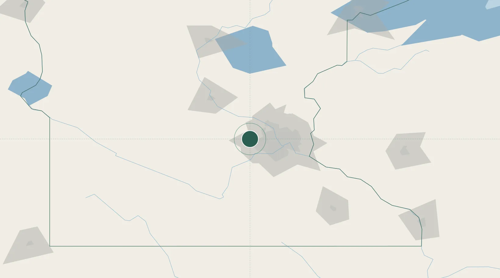
Maple Plain
45.0000°, -93.6500°
1,785
Population
3
Transport functions
Transport Functions
Rail
Road
Multimodal
Hub Profile
Place type
Populated place
Region
Minnesota
Population
1,785
Time zone
America/Chicago
Elevation
313 m
Location
Nearby Logistics Neighbours
Cities
- 1Orono5 km
- 2Greenfield8 km
- 3Hamel11 km
- 4Rockford11 km
- 5Wayzata12 km
Ports
- 1Superior228 km
- 2Duluth230 km
- 3Two Harbors272 km
- 4Ashland280 km
- 5Washburn283 km
Airports
Trade Zones
- 1FTZ No. 119 Minneapolis-St. Paul33 km
- 2FTZ No. 051 Duluth224 km
- 3FTZ No. 288 Northwest Iowa282 km
- 4FTZ No. 220 Sioux Falls298 km
- 5FTZ No. 267 Fargo329 km
DatabookThe Record of Consolidated Knowledge
United States beyond logistics?