UN/LOCODE hub · United States
USZD6
Howard Lake
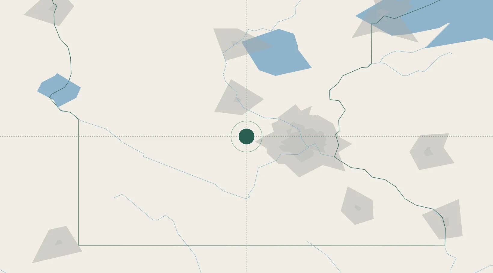
45.0500°, -94.0667°
2,039
Population
1
Transport functions
Transport Functions
Multimodal
Hub Profile
Place type
Populated place
Region
Minnesota
Population
2,039
Time zone
America/Chicago
Elevation
310 m
Location
Nearby Logistics Neighbours
Cities
- 1Dassel18 km
- 2Buffalo20 km
- 3Maple Lake21 km
- 4Annandale23 km
- 5Mayer24 km
Ports
- 1Superior243 km
- 2Duluth244 km
- 3Two Harbors287 km
- 4Ashland302 km
- 5Washburn305 km
Airports
Trade Zones
- 1FTZ No. 119 Minneapolis-St. Paul66 km
- 2FTZ No. 051 Duluth237 km
- 3FTZ No. 288 Northwest Iowa264 km
- 4FTZ No. 220 Sioux Falls274 km
- 5FTZ No. 267 Fargo301 km
DatabookThe Record of Consolidated Knowledge
United States beyond logistics?