Transport Functions
Multimodal
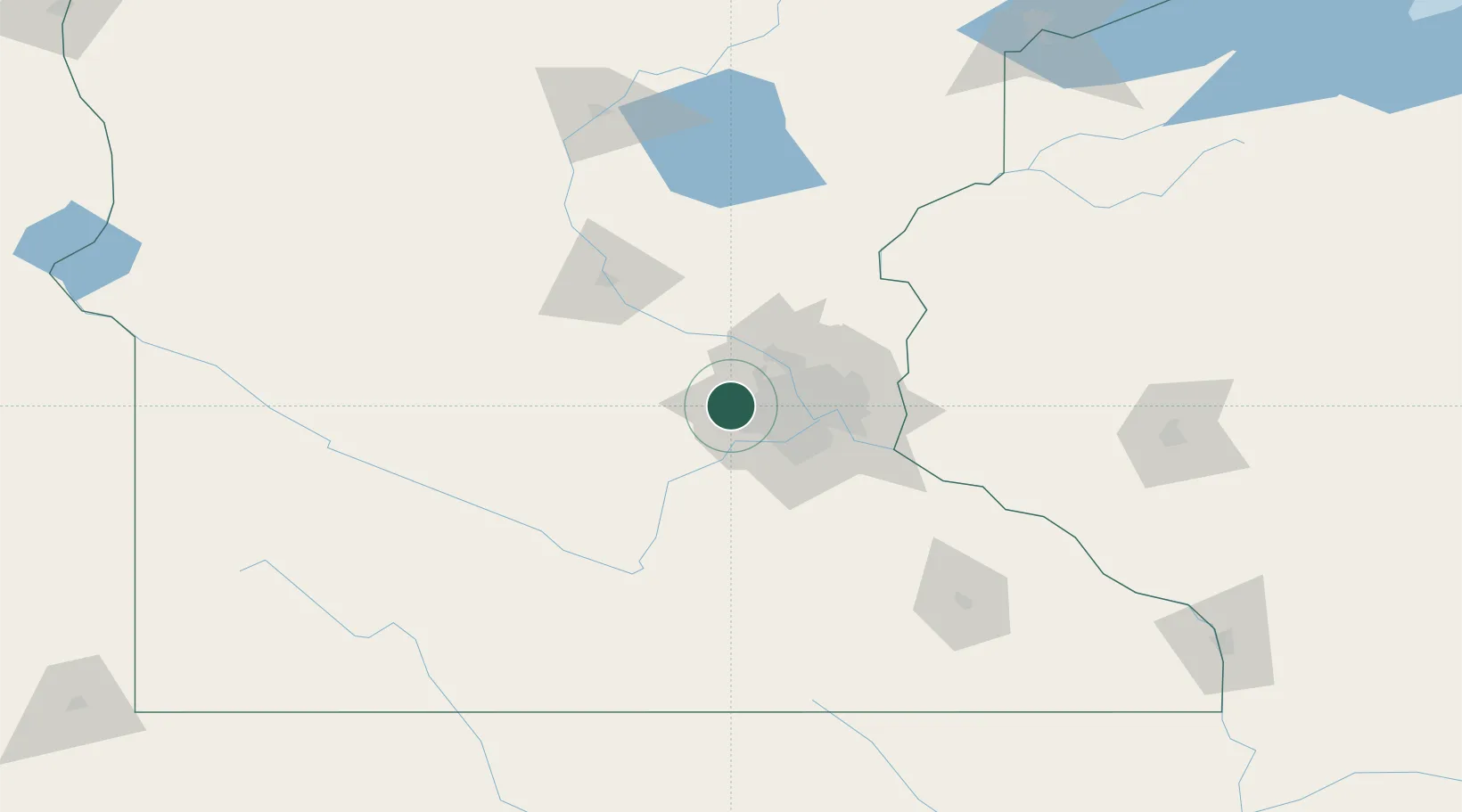
Hub Profile
Place type
Populated place
Region
Minnesota
Population
8,006
Time zone
America/Chicago
Elevation
296 m
Location
Nearby Logistics Neighbours
Cities
- 1Maple Plain5 km
- 2Wayzata8 km
- 3Hamel10 km
- 4Greenfield12 km
- 5Rockford17 km
Ports
- 1Superior230 km
- 2Duluth231 km
- 3Two Harbors273 km
- 4Ashland279 km
- 5Washburn283 km
Airports
Trade Zones
- 1FTZ No. 119 Minneapolis-St. Paul29 km
- 2FTZ No. 051 Duluth226 km
- 3FTZ No. 288 Northwest Iowa282 km
- 4FTZ No. 220 Sioux Falls299 km
- 5FTZ No. 267 Fargo335 km
DatabookThe Record of Consolidated Knowledge
United States beyond logistics?