Transport Functions
Rail
Road
Multimodal
Hub Profile
Place type
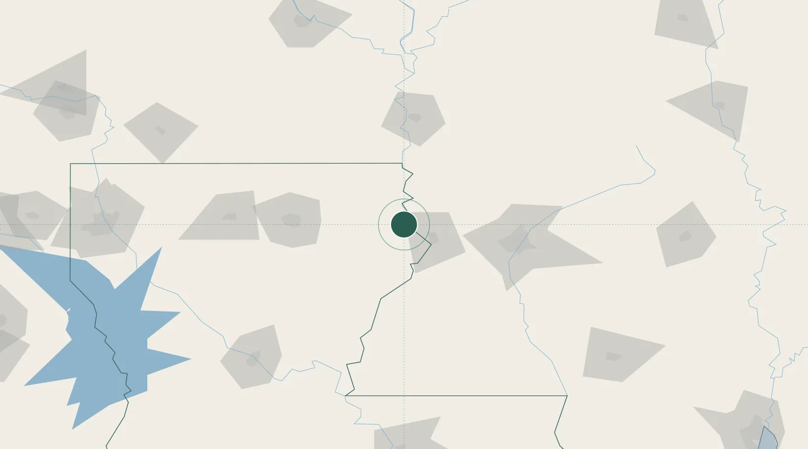
Populated place
Region
Louisiana
Time zone
America/Chicago
Elevation
26 m
Location
Nearby Logistics Neighbours
Cities
- 1Tallulah10 km
- 2Vicksburg29 km
- 3Redwood33 km
- 4Lake Providence35 km
- 5Ballground40 km
Ports
- 1Baton Rouge226 km
- 2Madisonville250 km
- 3Convent276 km
- 4Reserve277 km
- 5Slidell279 km
Airports
Trade Zones
- 1FTZ No. 158 Vicksburg Jackson39 km
- 2FTZ No. 154 Baton Rouge227 km
- 3FTZ No. 155 Calhoun Victoria Counties227 km
- 4FTZ No. 287 Tunica County246 km
- 5FTZ No. 145 Shreveport263 km
DatabookThe Record of Consolidated Knowledge
United States beyond logistics?