Transport Functions
Rail
Road
Multimodal
Hub Profile
Place type
Populated place
Region
Mississippi
Time zone
America/Chicago
Elevation
31 m
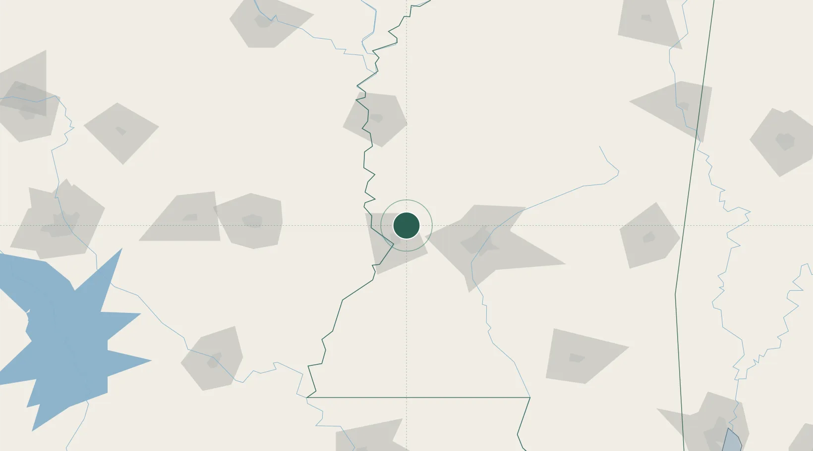
Location
Nearby Logistics Neighbours
Cities
- 1Ballground8 km
- 2Vicksburg13 km
- 3Edwards26 km
- 4Talla Bena33 km
- 5Tallulah37 km
Ports
- 1Baton Rouge229 km
- 2Madisonville240 km
- 3Slidell265 km
- 4Reserve272 km
- 5Convent274 km
Airports
Trade Zones
- 1FTZ No. 158 Vicksburg Jackson18 km
- 2FTZ No. 154 Baton Rouge231 km
- 3FTZ No. 155 Calhoun Victoria Counties231 km
- 4FTZ No. 287 Tunica County242 km
- 5FTZ No. 124 Gramercy270 km
DatabookThe Record of Consolidated Knowledge
United States beyond logistics?