Transport Functions
Port
Hub Profile
Place type
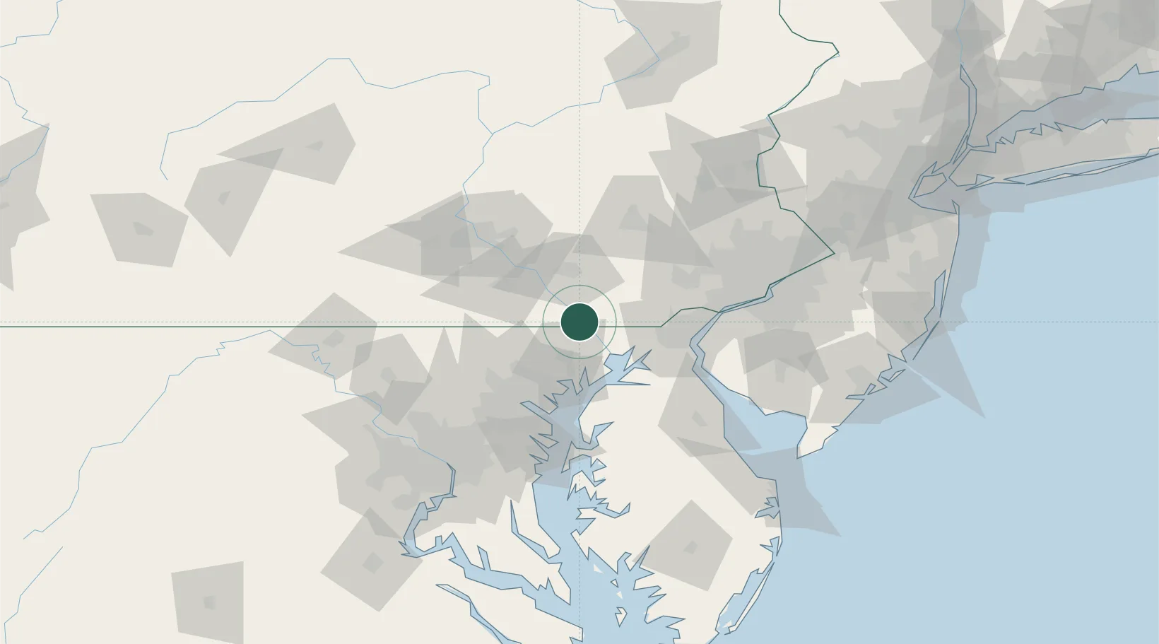
Populated place
Region
Pennsylvania
Time zone
America/New_York
Elevation
43 m
Location
Nearby Logistics Neighbours
Cities
- 1Whiteford8 km
- 2Quarryville18 km
- 3New Providence19 km
- 4Forest Hill21 km
- 5Strasburg25 km
Ports
- 1Havre De Grace29 km
- 2Baltimore60 km
- 3New Castle61 km
- 4Wilmington61 km
- 5Deepwater Point64 km
Airports
- 1Phillips Army Air Field33 km
- 2Lancaster Airport41 km
- 3Martin State Airport49 km
- 4Wilmington Airport57 km
- 5Harrisburg International Airport65 km
Trade Zones
- 1FTZ No. 074 Baltimore61 km
- 2FTZ No. 099 Wilmington62 km
- 3FTZ No. 073 BWI Airport72 km
- 4FTZ No. 147 Berks County73 km
- 5FTZ No. 035 Philadelphia91 km
DatabookThe Record of Consolidated Knowledge
United States beyond logistics?