Transport Functions
Road
Multimodal
Hub Profile
Place type
Populated place
Region
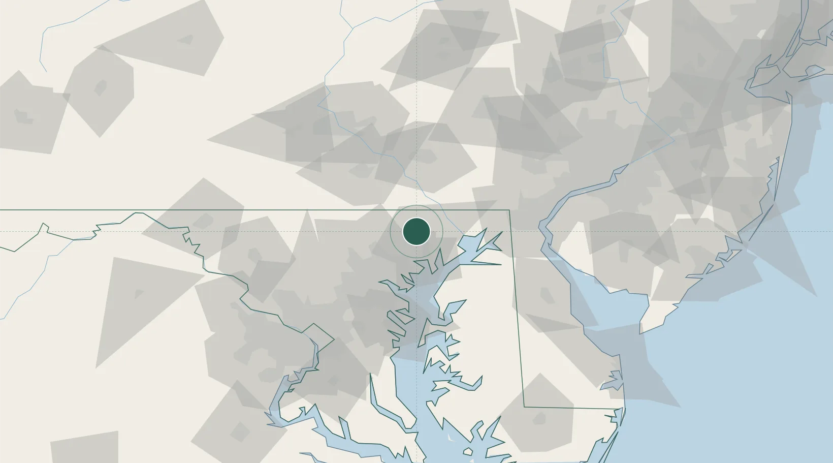
Maryland
Time zone
America/New_York
Elevation
166 m
Location
Nearby Logistics Neighbours
Cities
- 1Whiteford15 km
- 2Glen Arm17 km
- 3Belcamp18 km
- 4Perryman20 km
- 5White Marsh21 km
Ports
- 1Havre De Grace26 km
- 2Baltimore39 km
- 3Annapolis67 km
- 4New Castle70 km
- 5Wilmington73 km
Airports
Trade Zones
- 1FTZ No. 074 Baltimore40 km
- 2FTZ No. 073 BWI Airport51 km
- 3FTZ No. 099 Wilmington74 km
- 4FTZ No. 147 Berks County92 km
- 5FTZ No. 035 Philadelphia107 km
DatabookThe Record of Consolidated Knowledge
United States beyond logistics?