Transport Functions
Road
Multimodal
Hub Profile
Place type
Populated place
Region
Pennsylvania
Time zone
America/New_York
Elevation
117 m
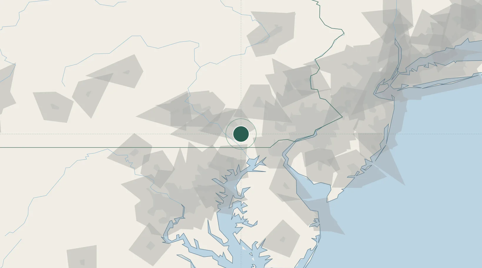
Location
Nearby Logistics Neighbours
Cities
- 1Quarryville6 km
- 2Strasburg6 km
- 3Lampeter9 km
- 4Ronks12 km
- 5Gordonville13 km
Ports
- 1Havre De Grace44 km
- 2Wilmington59 km
- 3New Castle62 km
- 4Deepwater Point63 km
- 5Salem Nj67 km
Airports
Trade Zones
- 1FTZ No. 147 Berks County55 km
- 2FTZ No. 099 Wilmington59 km
- 3FTZ No. 074 Baltimore80 km
- 4FTZ No. 035 Philadelphia81 km
- 5FTZ No. 073 BWI Airport92 km
DatabookThe Record of Consolidated Knowledge
United States beyond logistics?