Transport Functions
Road
Multimodal
Hub Profile
Place type
Populated place
Region
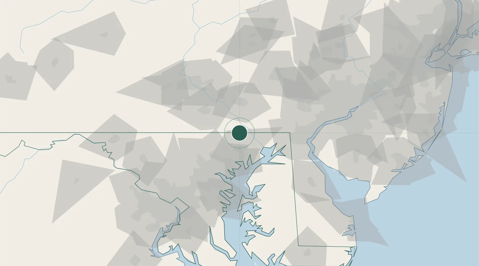
Maryland
Time zone
America/New_York
Elevation
167 m
Location
Nearby Logistics Neighbours
Cities
- 1Peach Bottom8 km
- 2Forest Hill15 km
- 3Quarryville25 km
- 4New Providence26 km
- 5Perryville29 km
Ports
- 1Havre De Grace31 km
- 2Baltimore54 km
- 3New Castle67 km
- 4Wilmington68 km
- 5Deepwater Point71 km
Airports
- 1Phillips Army Air Field32 km
- 2Martin State Airport44 km
- 3Lancaster Airport45 km
- 4Harrisburg International Airport64 km
- 5Wilmington Airport64 km
Trade Zones
- 1FTZ No. 074 Baltimore54 km
- 2FTZ No. 073 BWI Airport66 km
- 3FTZ No. 099 Wilmington69 km
- 4FTZ No. 147 Berks County77 km
- 5FTZ No. 035 Philadelphia99 km
DatabookThe Record of Consolidated Knowledge
United States beyond logistics?