Transport Functions
Road
Multimodal
Hub Profile
Place type
Populated place
Region
Pennsylvania
Population
604
Time zone
America/New_York
Elevation
390 m
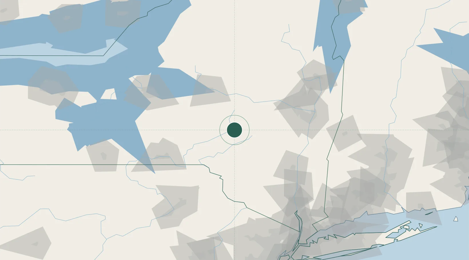
Location
Nearby Logistics Neighbours
Cities
- 1Schenevus7 km
- 2Tuscan12 km
- 3Worcester13 km
- 4Delhi26 km
- 5Garrattsville27 km
Ports
- 1Catskill91 km
- 2Albany94 km
- 3Rensselaer94 km
- 4Kingston100 km
- 5Troy100 km
Airports
Trade Zones
- 1FTZ No. 121 Albany90 km
- 2FTZ No. 172 Oneida County124 km
- 3FTZ No. 037 Orange County126 km
- 4FTZ No. 024 Pittston153 km
- 5FTZ No. 090 Onondaga171 km
DatabookThe Record of Consolidated Knowledge
United States beyond logistics?