Transport Functions
Port
Rail
Road
Multimodal
Hub Profile
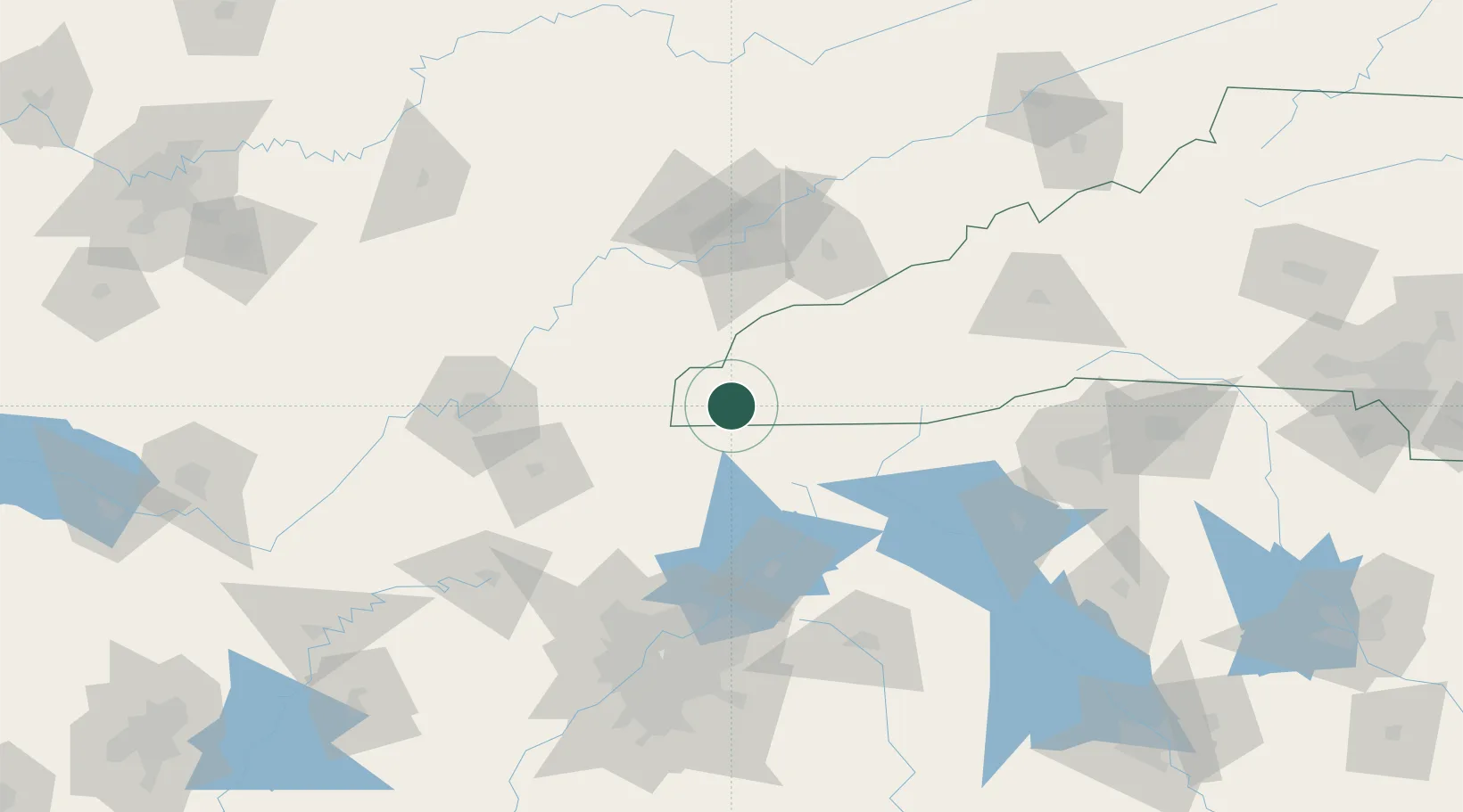
Place type
Provincial seat
Region
North Carolina
Population
1,615
Time zone
America/New_York
Elevation
486 m
Location
Nearby Logistics Neighbours
Cities
- 1Marble13 km
- 2Blairsville23 km
- 3Andrews24 km
- 4Blairesville28 km
- 5Ducktown32 km
Ports
- 1Beaufort429 km
- 2Savannah431 km
- 3Port Royal433 km
- 4Darien479 km
- 5Brunswick497 km
Airports
Trade Zones
- 1FTZ No. 148 Knoxville102 km
- 2FTZ No. 134 Chattanooga122 km
- 3FTZ No. 026 Atlanta151 km
- 4FTZ No. 038 Spartanburg County164 km
- 5FTZ No. 204 Tri-Cities214 km
DatabookThe Record of Consolidated Knowledge
United States beyond logistics?