UN/LOCODE hub · United States
USDC3

Ducktown

35.0333°, -84.3833°
453
Population
2
Transport functions

Transport Functions

Rail
Road
UN/LOCODE

Hub Profile

Place type
Populated place
GeoNames
Region
Tennessee
GeoNames
Population
453
GeoNames
Time zone
America/New_York
GeoNames
Elevation
528 m
GeoNames

Location

Location of USDC3
Natural Earth 10m (public domain) · Tennessee · USDC3 · 35.03, -84.38GoogleOSMYandex

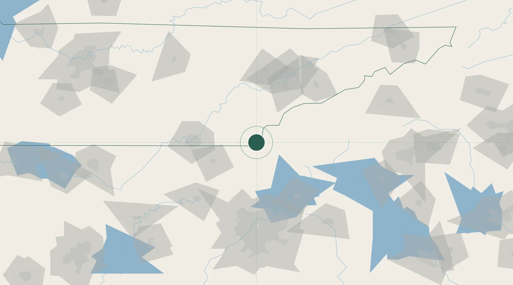
Nearby Logistics Neighbours

Cities
  1. 1Blue Ridge21 km
  2. 2Delano30 km
  3. 3Ocoee32 km
  4. 4Ocoee, Polk32 km
  5. 5Murphy32 km
Nearest neighbours — logibook spatial index (haversine) over the source coordinates
Ports
  1. 1Savannah448 km
  2. 2Beaufort449 km
  3. 3Port Royal453 km
  4. 4Darien491 km
  5. 5Brunswick509 km
Nearest neighbours — logibook spatial index (haversine) over the source coordinates
Airports
  1. 1Western Carolina Regional Airport51 km
  2. 2Chattanooga Metropolitan Airport (Lovell Field)75 km
  3. 3McGhee Tyson Airport93 km
  4. 4Richard B Russell Airport104 km
  5. 5Cobb County International Airport-McCollum Field115 km
Nearest neighbours — logibook spatial index (haversine) over the source coordinates
Trade Zones
  1. 1FTZ No. 134 Chattanooga91 km
  2. 2FTZ No. 148 Knoxville107 km
  3. 3FTZ No. 026 Atlanta141 km
  4. 4FTZ No. 038 Spartanburg County195 km
  5. 5FTZ No. 083 Huntsville222 km
Nearest neighbours — logibook spatial index (haversine) over the source coordinates
DatabookThe Record of Consolidated Knowledge
United States beyond logistics?
Browse databook

All Sources

LocationsUN/LOCODE
UN/LOCODE — free
LocationsGeoNames
CC BY 4.0
Portsthe NGA World Port Index
Public domain (US gov)
AirportsOurAirports
Public domain
Trade Zonesthe World Bank SEZ database
CC BY 4.0
Trade ZonesOpen Zone Map
CC BY
← United States locations