UN/LOCODE hub · United States
USSPT
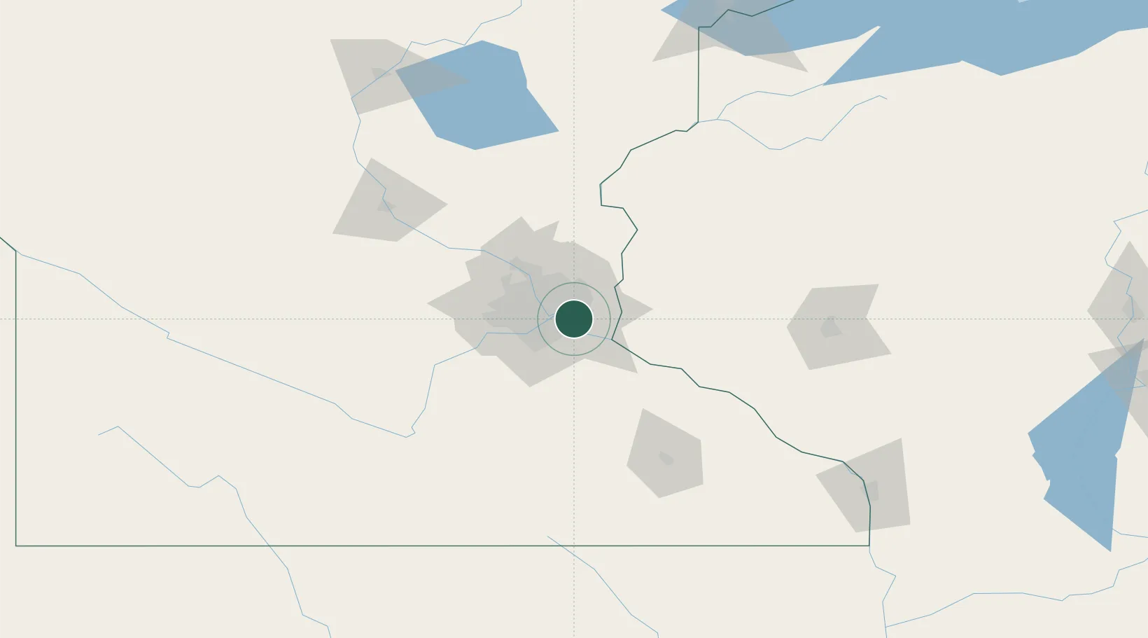
South Saint Paul
44.8833°, -93.0500°
20,160
Population
4
Transport functions
Transport Functions
Port
Rail
Road
Airport
Hub Profile
Place type
Populated place
Region
Minnesota
Population
20,160
Time zone
America/Chicago
Elevation
219 m
Location
Nearby Logistics Neighbours
Cities
- 1Dawson5 km
- 2West Saint Paul5 km
- 3Mendota Heights7 km
- 4Saint Paul Park8 km
- 5Fort Snelling9 km
Ports
- 1Superior219 km
- 2Duluth222 km
- 3Ashland255 km
- 4Washburn260 km
- 5Two Harbors261 km
Airports
Trade Zones
- 1FTZ No. 119 Minneapolis-St. Paul18 km
- 2FTZ No. 051 Duluth218 km
- 3FTZ No. 288 Northwest Iowa308 km
- 4FTZ No. 220 Sioux Falls333 km
- 5FTZ No. 266 Dane County335 km
DatabookThe Record of Consolidated Knowledge
United States beyond logistics?