UN/LOCODE hub · United States
USSNJ
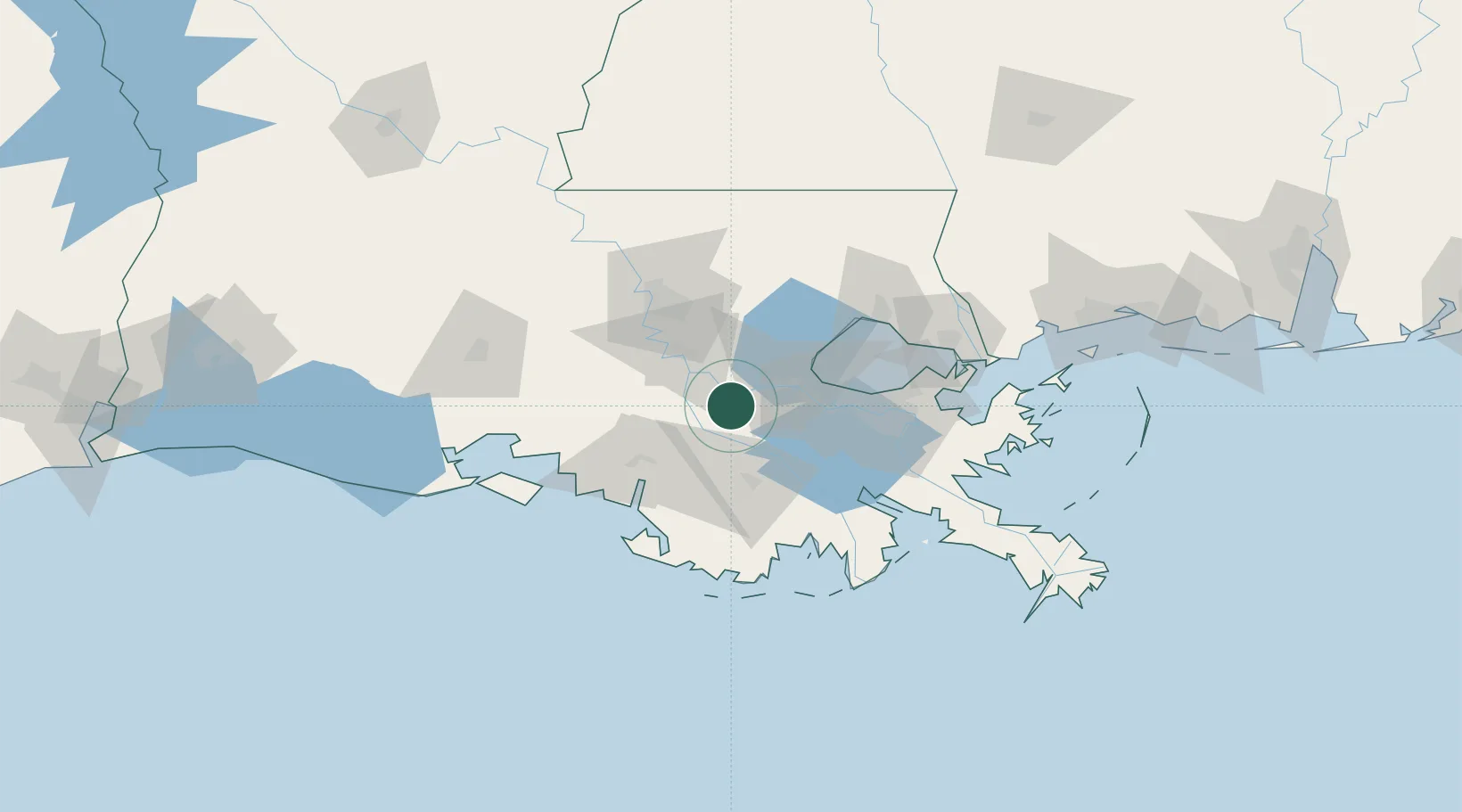
Saint James
29.9667°, -90.8167°
828
Population
3
Transport functions
Transport Functions
Rail
Road
Multimodal
Hub Profile
Place type
Populated place
Region
Louisiana
Population
828
Time zone
America/Chicago
Elevation
5 m
Location
Nearby Logistics Neighbours
DatabookThe Record of Consolidated Knowledge
United States beyond logistics?